
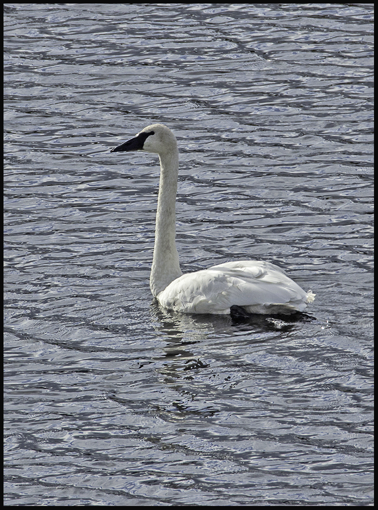
Young trumpeter swan
In order to drive to Haines, at the northern end of the panhandle, from the bulk of Alaska, one needs to re-enter the Yukon, pass through a section of British Columbia and eventually get back to Alaska.
Haines (and Skagway) are accessible by highway and ferry. Other towns in the lower panhandle can only be reached by air or sea. This lower section of Alaska wasn’t surveyed after the purchase of Alaska from Russia in 1867. Neither Canada nor the US knew where the boundary was and it didn’t really matter until gold was discovered. An international tribunal ruled in favor of the US, so the panhandle was lost to Canada. The resulting boundary is remarkably convoluted.
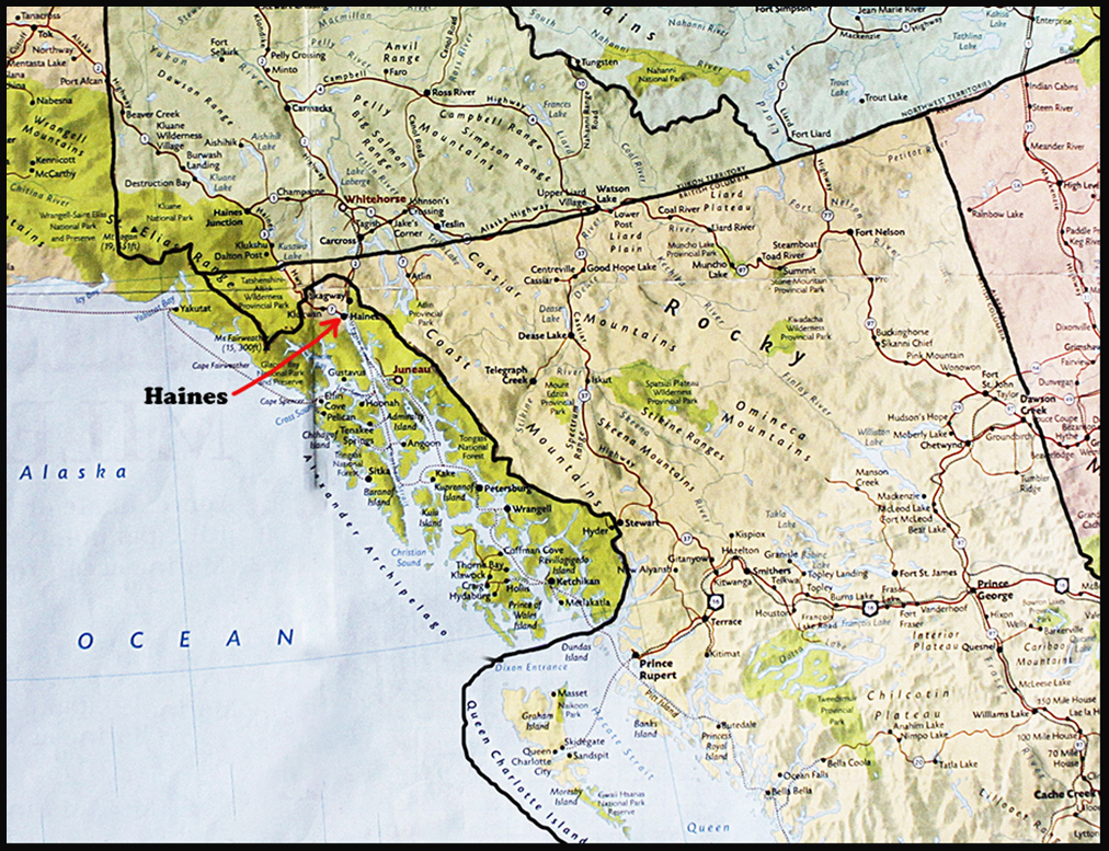
Map showing the boundary line of the panhandle.
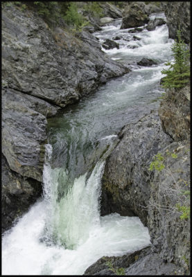
Million Dollar Falls
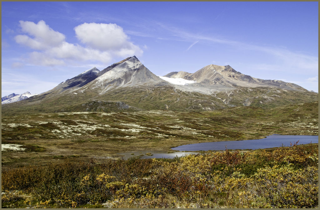
We zoomed through the Kluane area of the Yukon because the weather wasn’t cooperating. In better weather this is a gorgeous area. We stopped at our favorite Million Dollar campground near the boundary with British Columbia.
There we met an amazing Mexican national with dual citizenship, who has been living in Whitehorse for years. He was bicycling a loop from Whitehorse to Haines, ferrying to Skagway, and returning to Whitehorse. A reasonable goal compared to the cyclists on the Dempster.
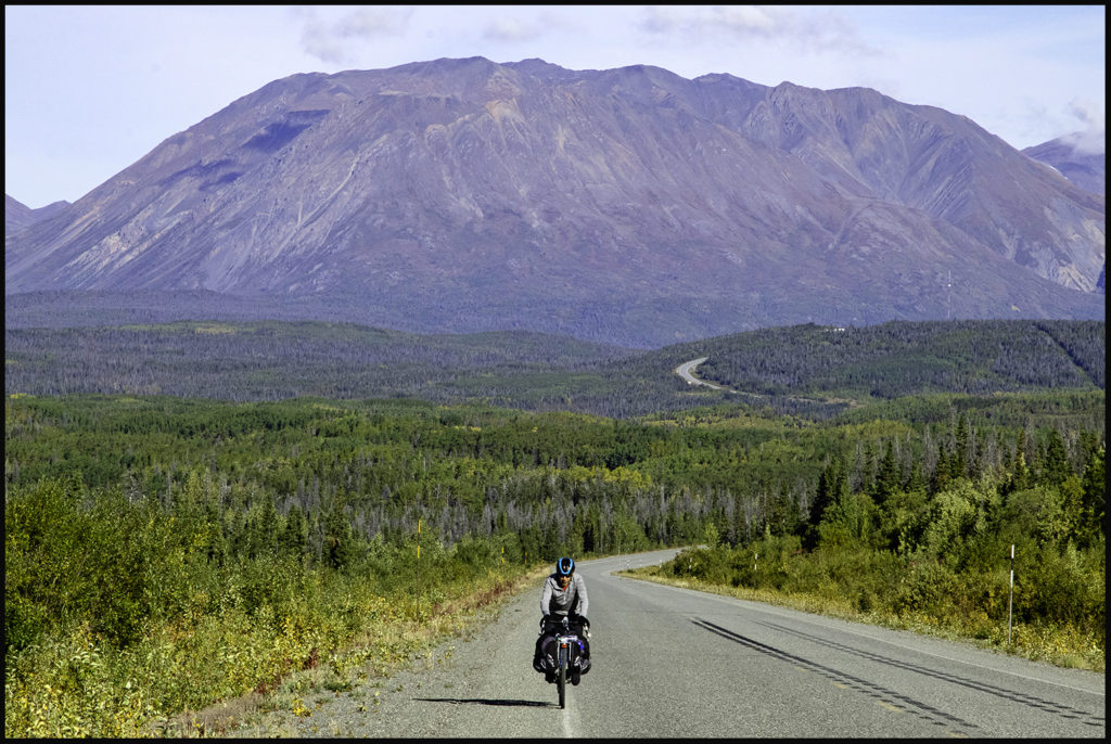
Jorge leaving the Yukon for British Columbia.
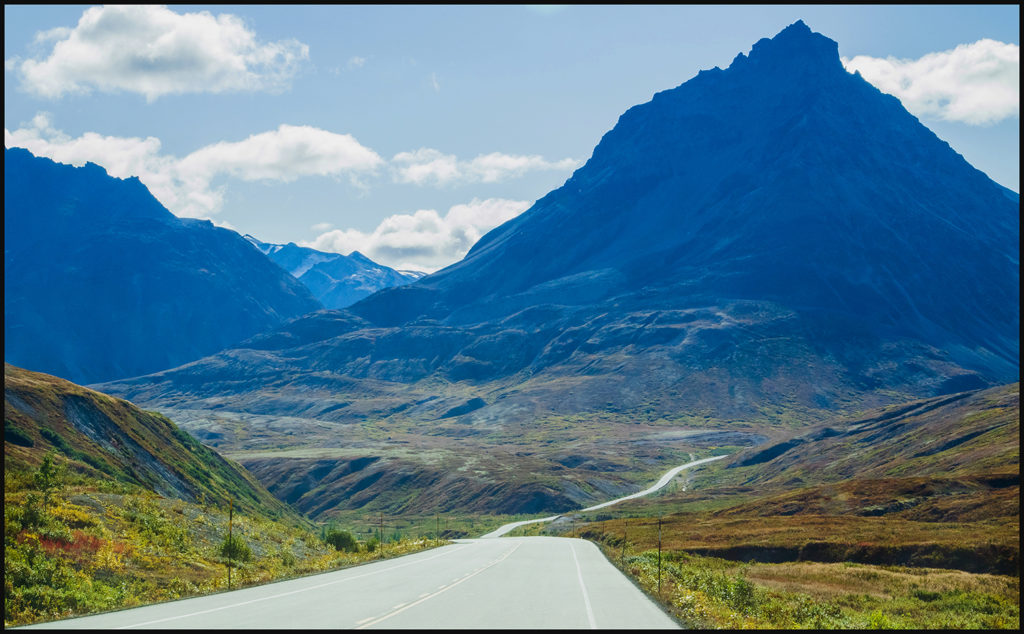
From the campground it’s an easy day drive to Haines over the old Dalton Trail (now Haines highway) which follows a route established by the original inhabitants, the Tlingit. They traded coastal wealth of fish oil, seaweed and roe with the Athabascans, an interior tribe which provided them with hides and copper. Jack Dalton pre-empted their trail and built a toll road with trading posts spaced along it to serve the gold seekers. Needless to say, he was not popular with the natives.
When the Skagway connections to the goldfields were completed, prospectors used that route instead.
Scene along the Dalton Trail (Haines highway) in the BC section.
Losing altitude on the way to Haines.
The Haines population nosedived and it became mainly a fishing port with 4 operating canneries.
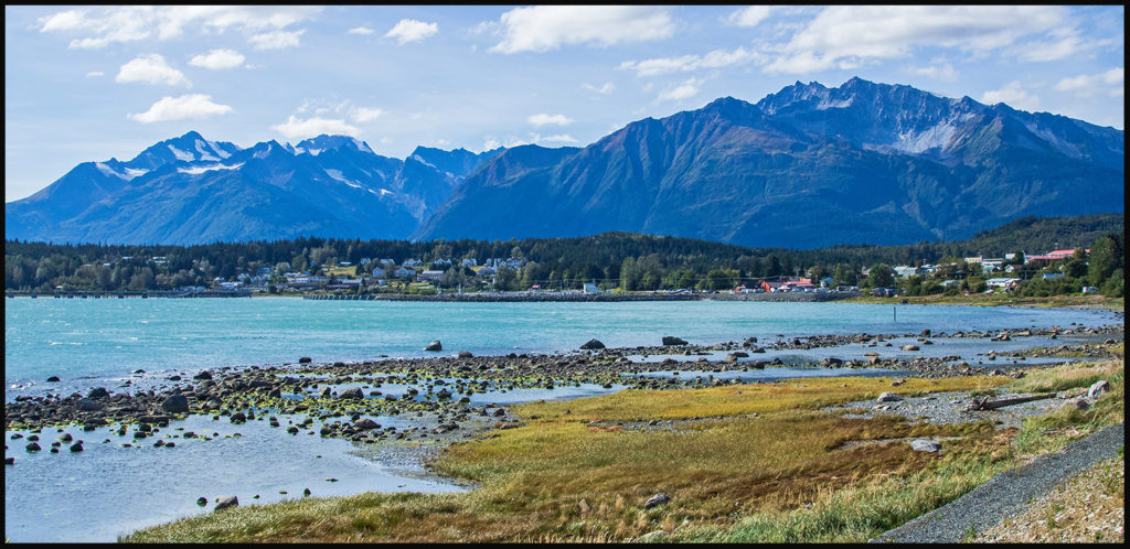
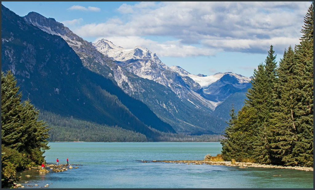
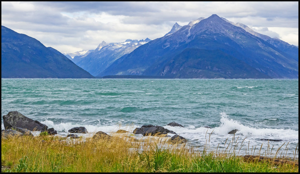
Haines sits on a spit of land between Chilkoot and Chilkat inlets. A sea level town with relatively mild winters.
Now one scenic cannery still operates, but Haines borough, with a year-round population hovering around 2,000 sustains itself mostly on tourism. It’s a trendy little port town with lots of at outdoor activities available, located at the top of the panhandle . Many Alaskans call the panhandle “Seattle North” because of its youthful, more liberal inhabitants. The town allows only one small cruise ship in port at a time, which limits the numbers of tourists flooding in.
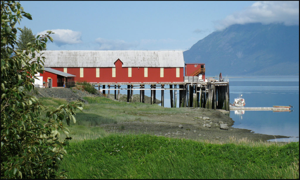
The last cannery still operates.
There are two main recreation areas near Haines. The first, Chilkoot Lake where we camped for 5 days, touts its fishing brown bears seen in sizable numbers during the salmon run.
Chilkoot Lake; spawning salmon’s goal.
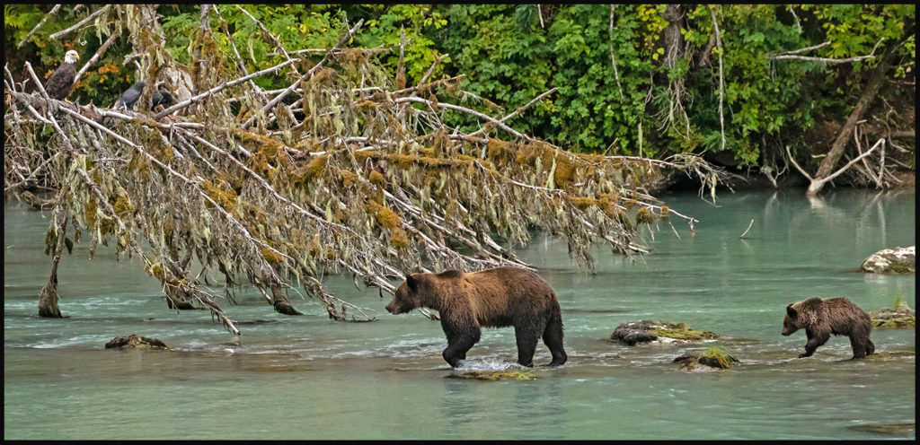
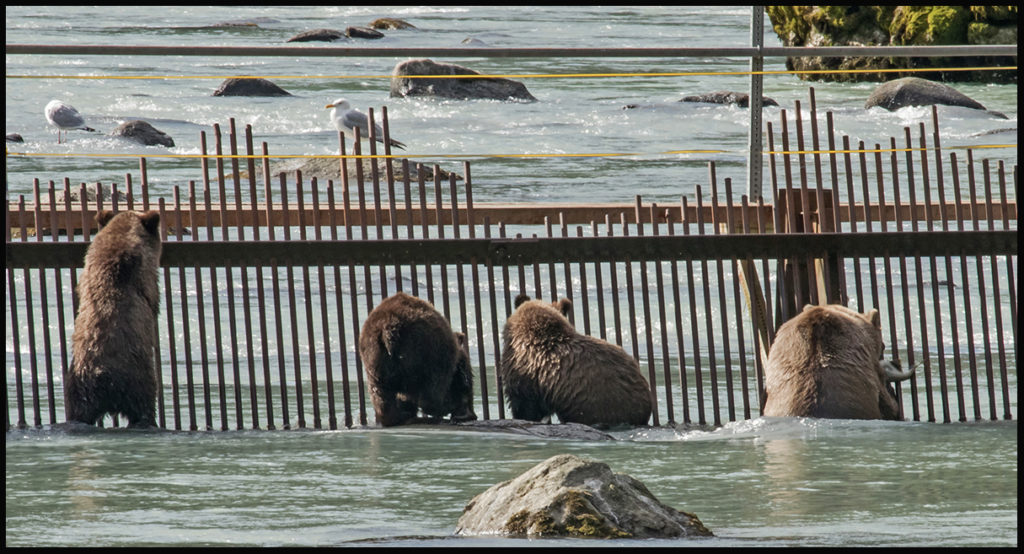
Bears along the lake inlet stream with eagle and ravens looking on.
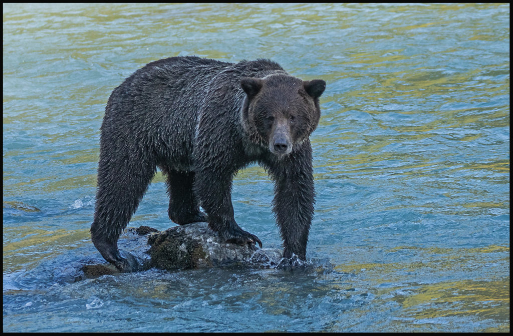
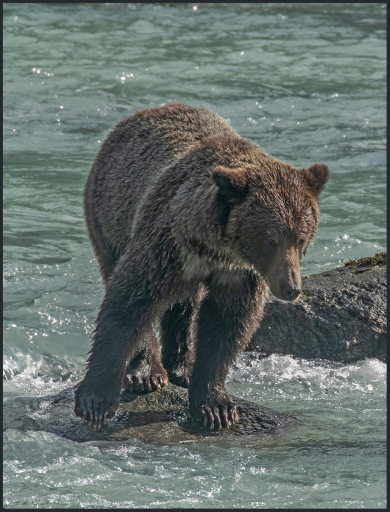
Young male bear fishes alone.
Colors of autumn.
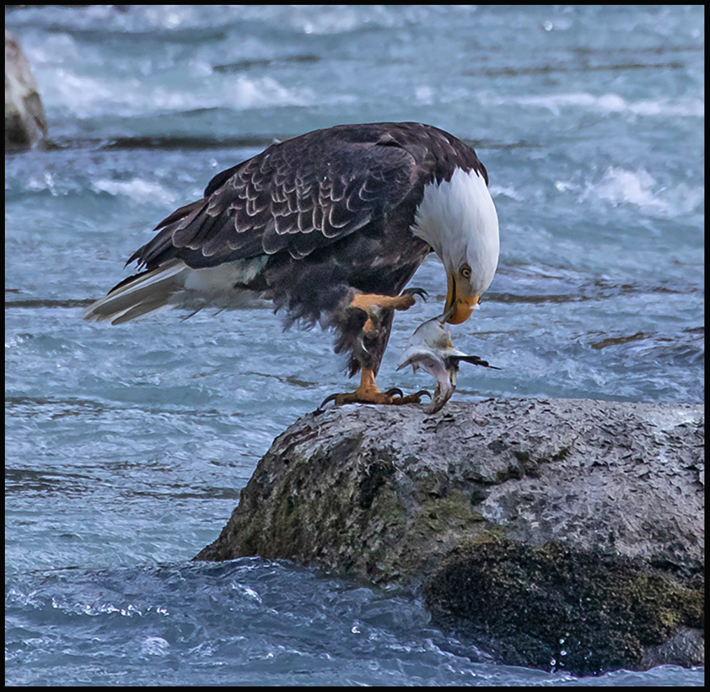
Bald eagles are happy to pick up the scraps from bears’ sloppy eating.
Every fall when the salmon start their run up to Chilkoot Lake, the AK Dept. of Wildlife erects a weir in the inlet to count the salmon. They are funneled through a narrow opening in the weir where the biologists can monitor them. They keep track of how many of each species make it through the gate. This was a very low numbers year. The salmon that manage to get to the lake’s gravel beds to spawn, die and wash downstream where they pile up against the upstream side of the weir. This makes for easy snagging by the bears. Unfortunately, the dead and dying fish are not the most nutritious. Bears much prefer gravid females with lots of fat and roe. In sparse years they are forced to eat what they can get, especially the females with cubs to feed. They feed during the day to find enough calories for their cubs and to avoid the big males that might want to eat the cubs. According to the biologists there are 27 bears feeding in the area. The large males feed at night to avoid all the watching tourists.
Mother with 3 cubs feeding at the weir.
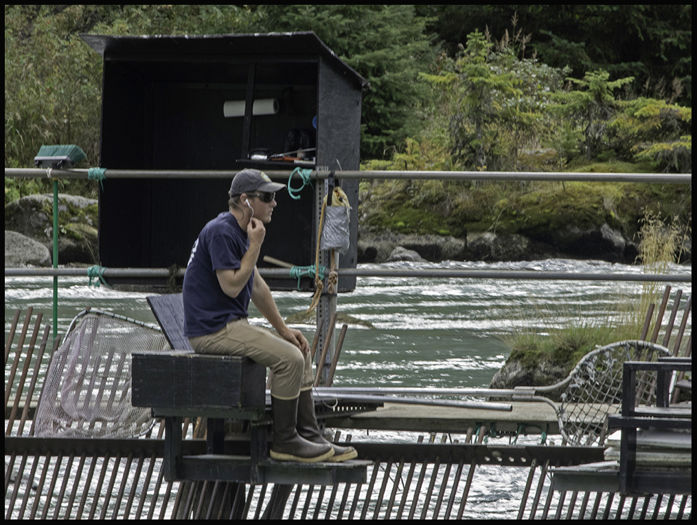
Biologist counting salmon on the weir. On September 10th they started taking down the weir. Not enough fish left to count.
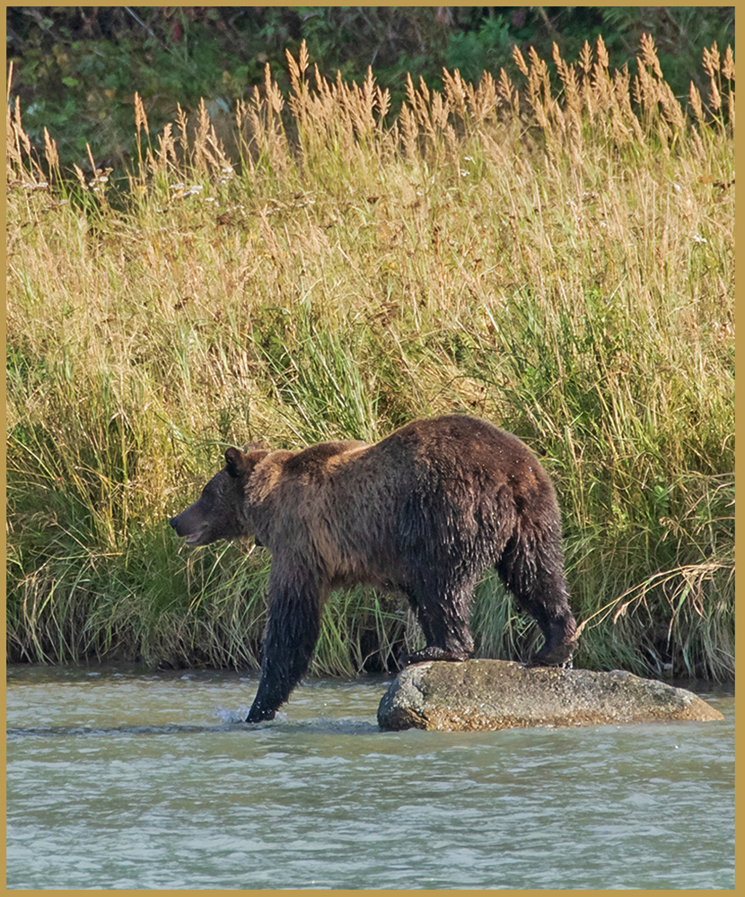
One more bear, I can’t resist. They were so much fun to watch, and didn’t seem to care about the human voyeurs at all.
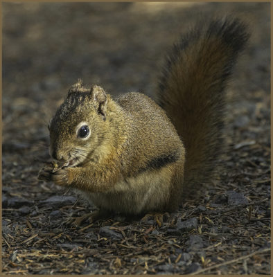
Campground buddy; a red squirrel tidies up the camp site.
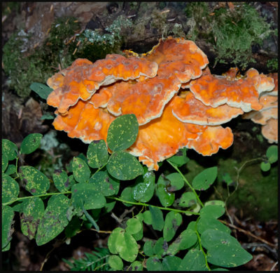
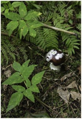
Colorful campground fungus.
The second recreation area is along the Chilkat inlet at the end of the Chilkat River. It features some lovely hiking trails and glacier views. The surrounding temperate rain forest gets about 50 inches annually, although 2018 has been particularly dry. Compared to our desert-like Colorado, it still looks pretty moist.
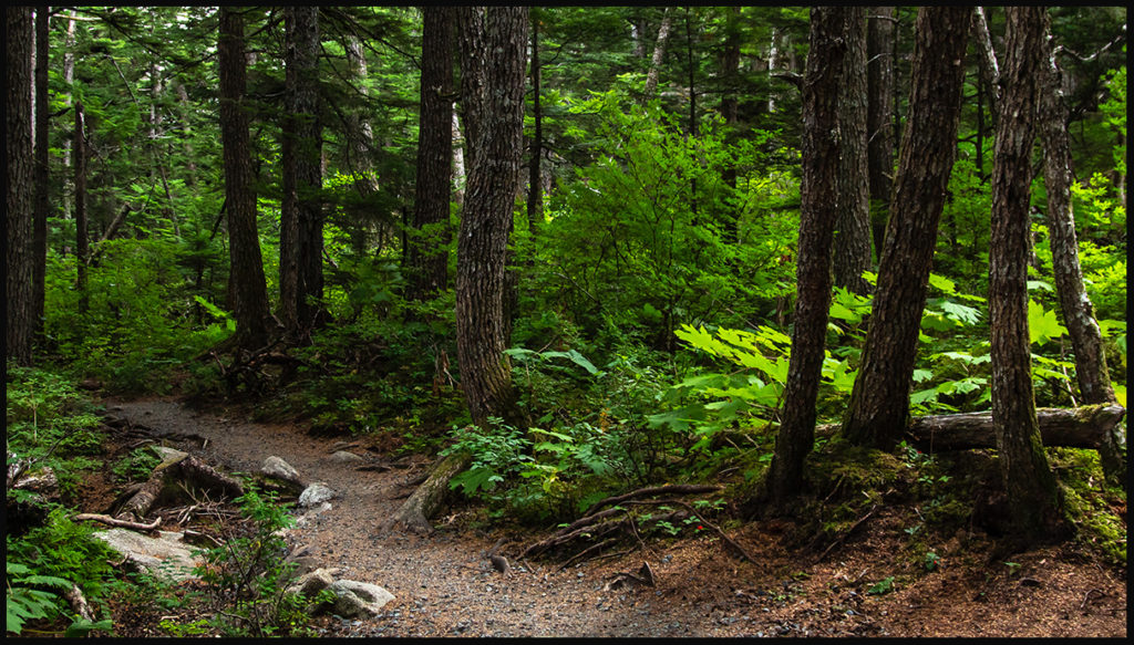
Trail to Seduction point.
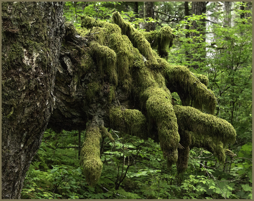
Green on green.
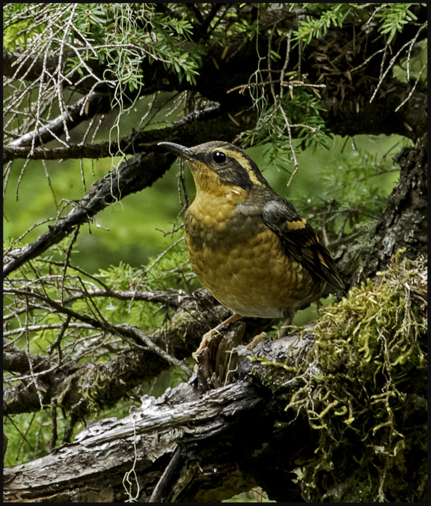
Varied Thrush, a common northern species.
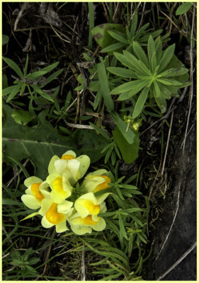
A few flowers still bloom in Sept.
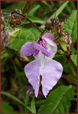
Some sort of orchid.
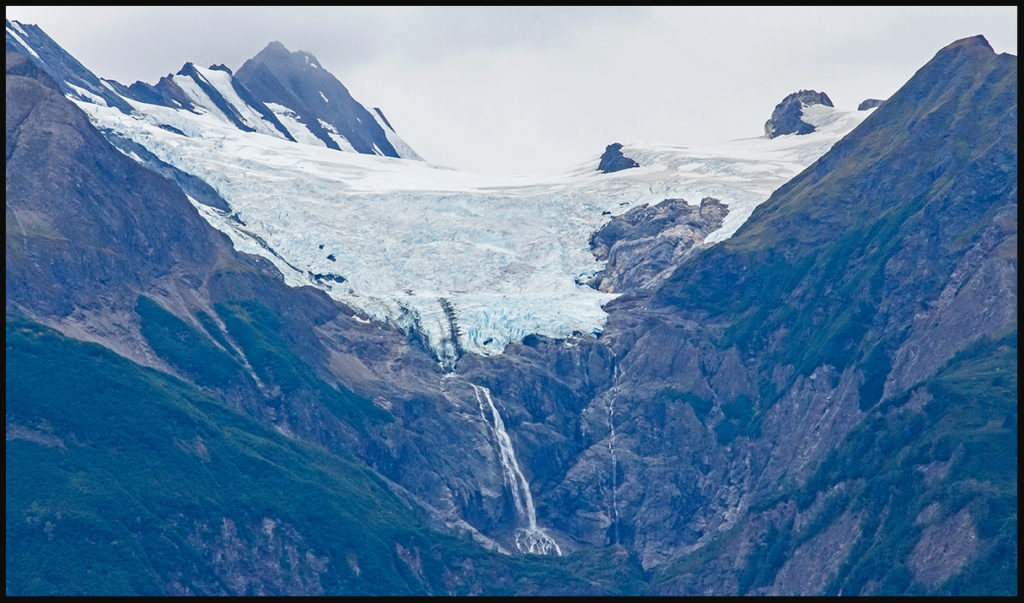
Glacier pouring water into the Chilkat inlet.
Fungus along the trail.
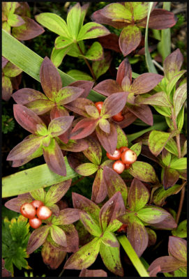
Berries look edible, but not sure.
End of the trail.
Took a drive up the Chilkat River to the native village of Klukwan. Unfortunately it was Sunday and their museum was closed. However, it is a spectacular location and the weather was mild.
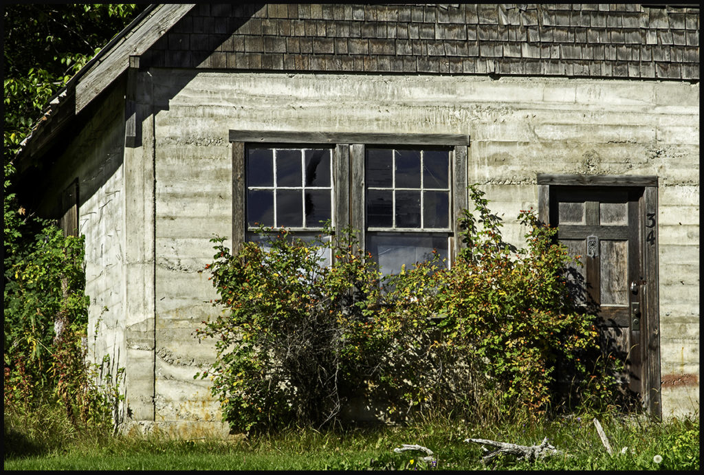
Old Klukwan building.
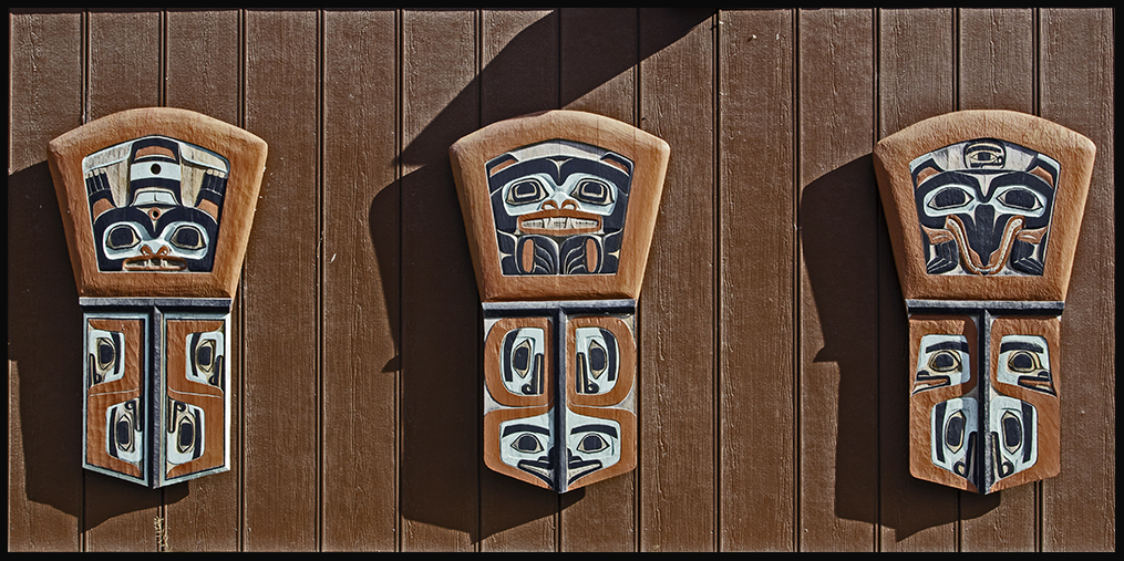
Klukwan center decor
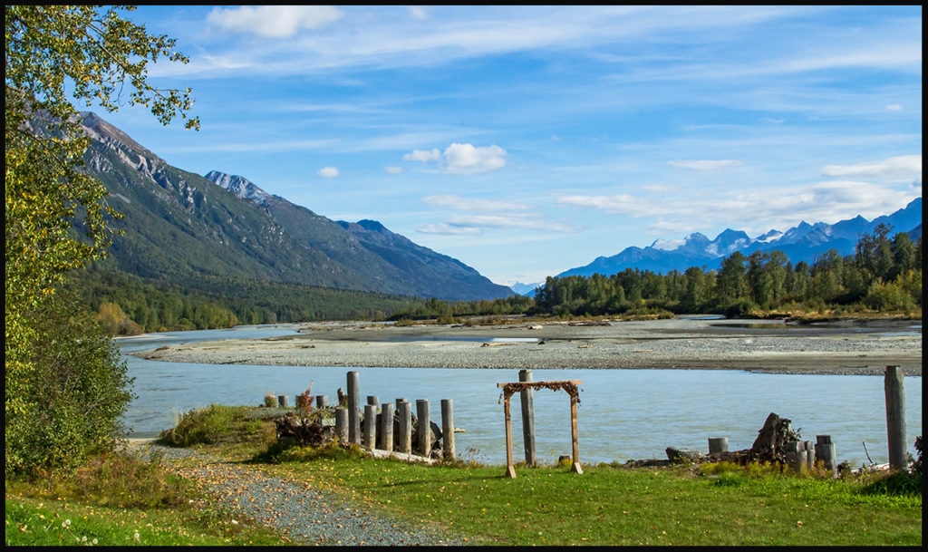
Klukwan docking area on the Chilkat River.
The Bald Eagle Preserve along the Chilkat is home to thousands (3 to 4 thousand) starting in November. It’s a huge tourist draw. The large nests are visible across the wide meandering Chilkat. The river never freezes in this stretch and thousands of eagles winter here to feast on late spawning salmon and other fish.
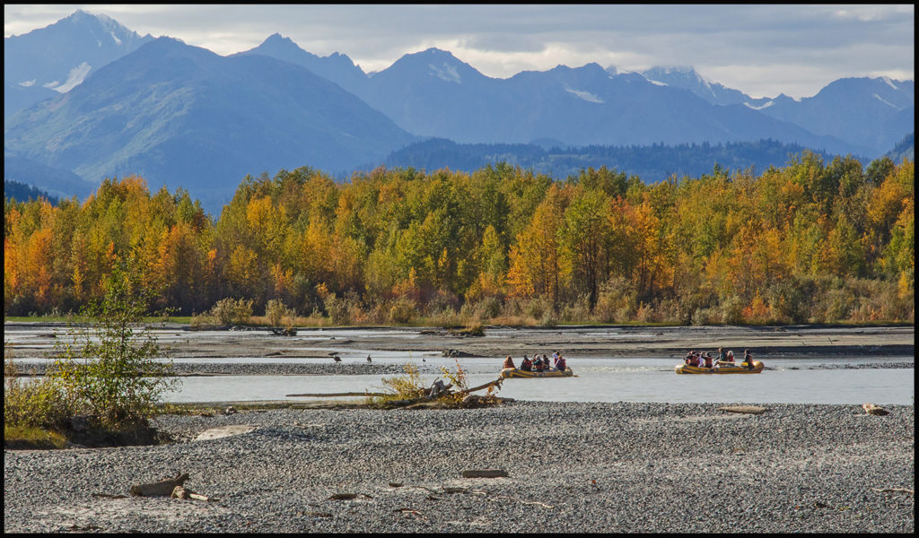
Floating through the Bald Eagle sanctuary.
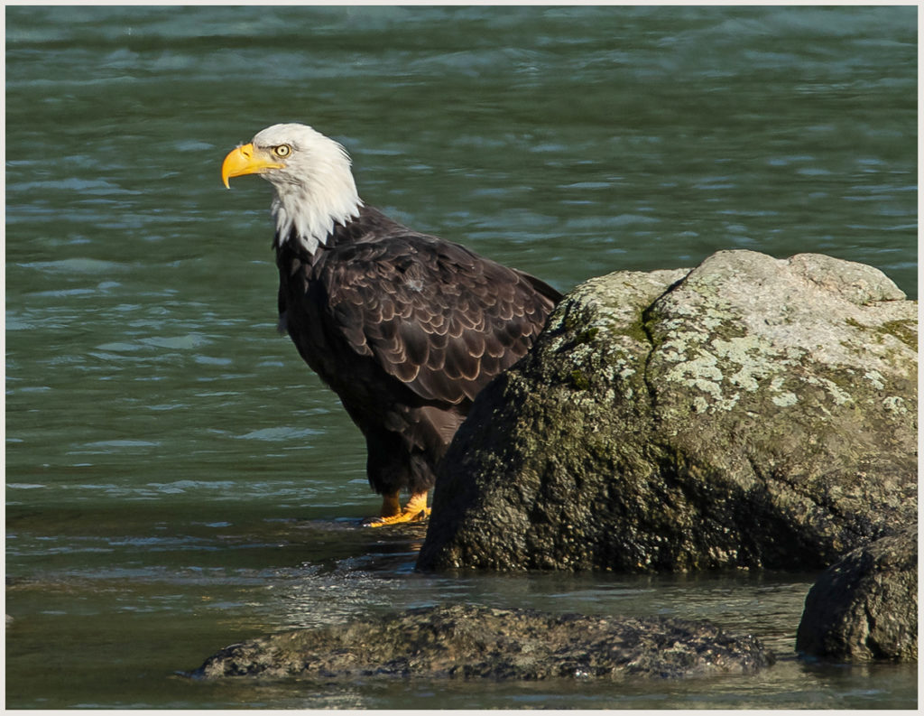
Soon this one will be joined by thousands more.
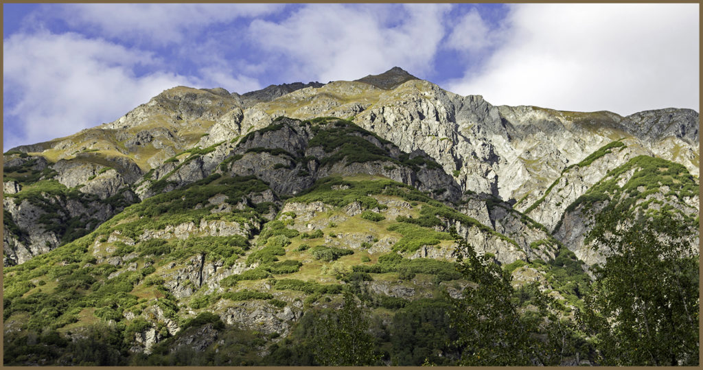
Look away from the river and one can find (with good binoculars) mountain goats feeding in the high meadows.
Back in town along the inlet, more interesting wildlife.
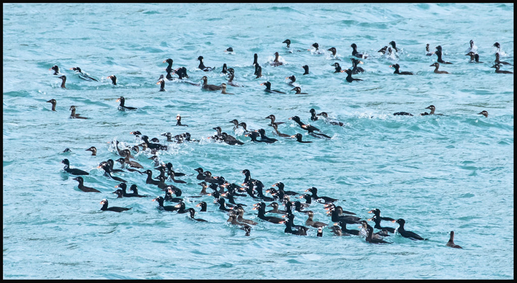
Migrating surf scoters by the hundreds.
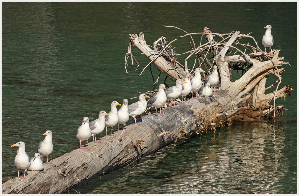
Line-up of Thayer’s gulls.
It’s such a lovely area I can’t say enough nice things about it. However, I haven’t spent a winter in the dark northern latitudes and that might color my rave review.
Rather than drive through British Columbia to get home, we decide to take the Alaska marine highway ferries back to the states. Having wheel bearing problems with the truck helped make that decision for us.
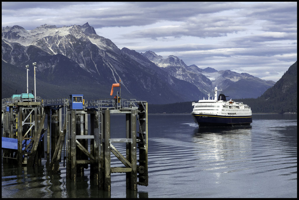
Here comes the ferry to take us south.
Click the link for a short video of fishing bears.