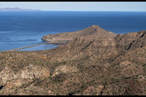
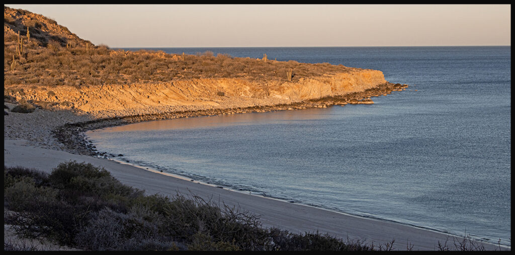
Bahía San Francisquito’s empty beach. One of our new destinations.
In winter of 2022 we escaped once again to Baja. Since we’ve been there several times we have some favorite camping sites. This time we decide to explore some new areas as well as visit old favorites. We crossed the border at San Luis, just south of Yuma, AZ, as it’s convenient and an easy access into Mexico. (Leaving Mexico through this crossing is often crowded and takes hours.) It’s a quick hop to San Felipe, a good first night stop for camping, cash and supplies. Drive west of town toward the mountains to find many off-road camping opportunities.
It’s a beautiful drive south on Hwy. 5.
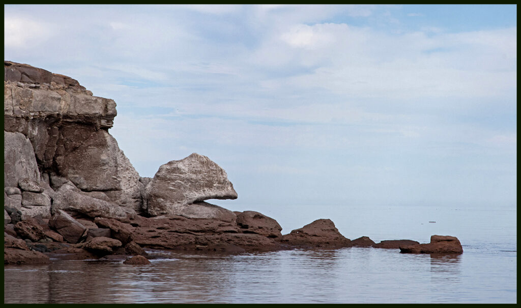
“Pacman Beach”, (my name for it). Scenic view from Hwy. 5
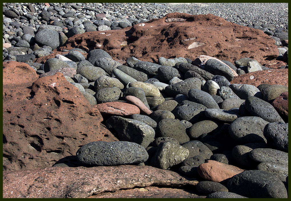
Pacman beach is not a sandy, friendly one.
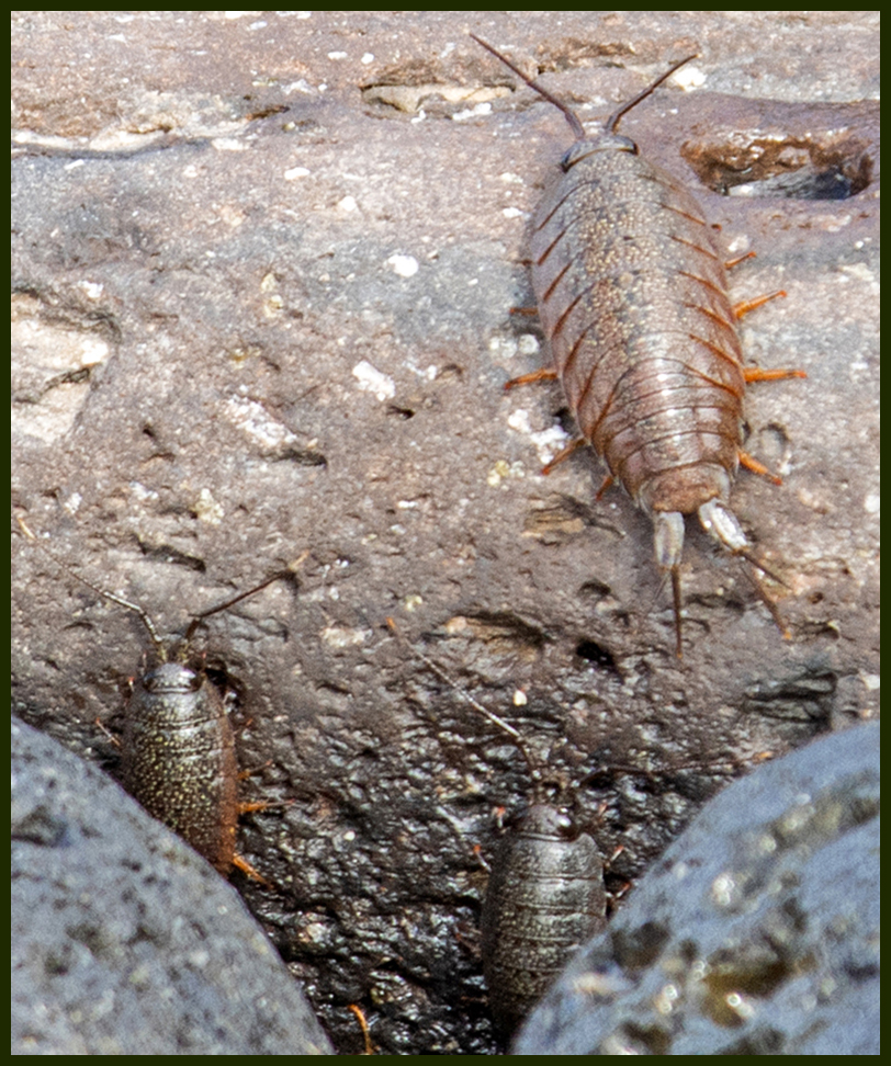
Scads of little sea roaches covered the rocks.
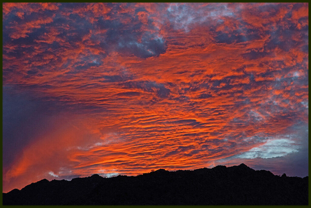
We couldn’t pass our all time favorite campsite overlooking a large canyon on the west side of the highway.
Canyon sunrise welcome. You can see just how dry it is.
Hiking in the canyon that day we saw our first ever Desert Bighorns. A small herd of them disappeared behind the valley cliffs before I could get my camera out. Fortunately, one ram kept his eye on us. There were 2 more rams near camp when we returned. Big excitement for us!
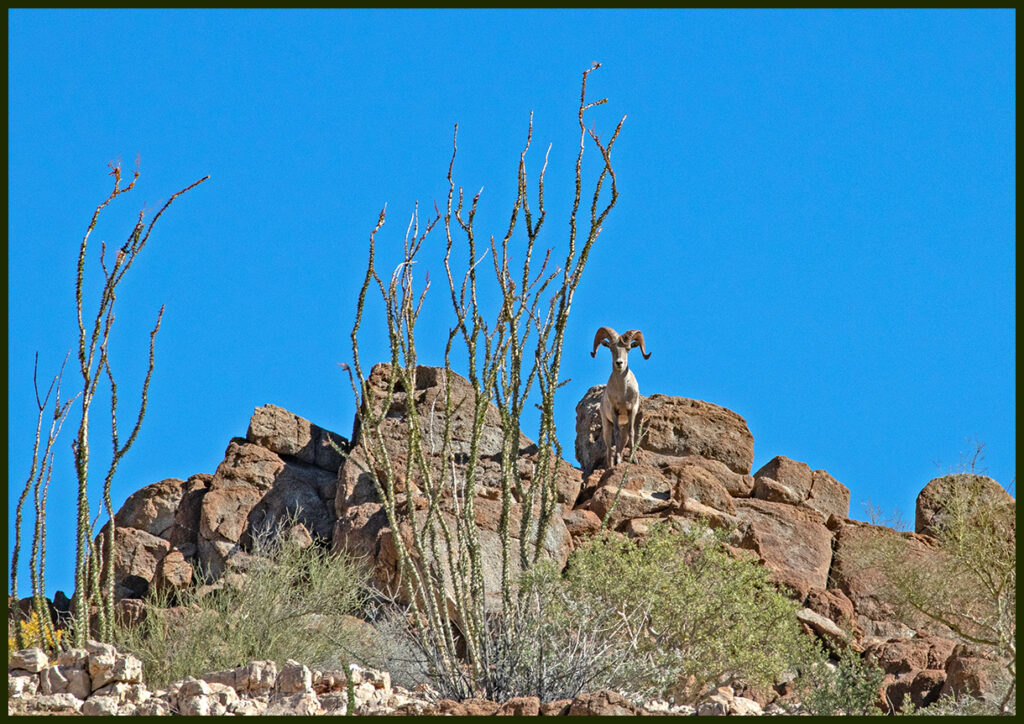
Bighorn on canyon rim.
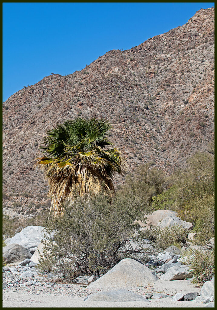
Palm trees were surviving the drought higher in the canyon.
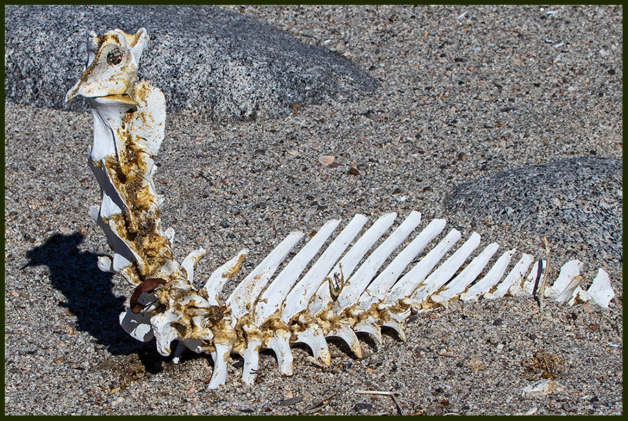
The little bone beastie was still untouched after 2 years.
A spectacular sunset lasted a long time as we sipped our margaritas.
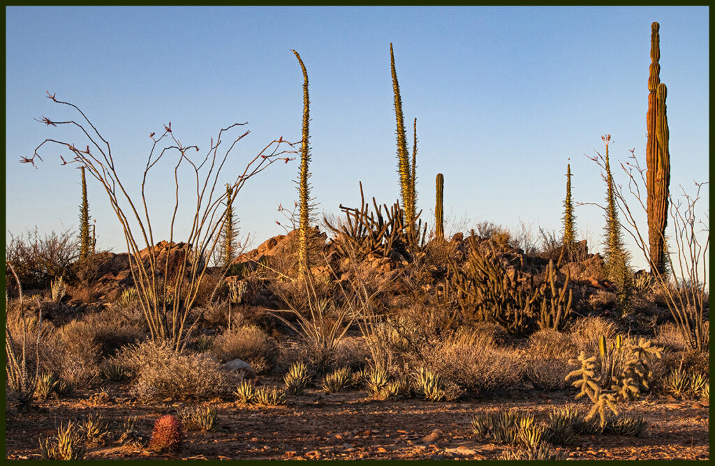
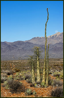
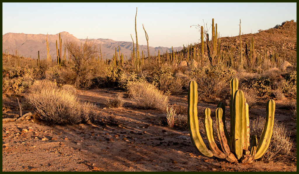
After Hwy. 5 joins Hwy. 1 the Valle de los Cirios begins. Around Kilometer 246 are the best examples you will find of cirios (church candles) aka, Boojums. These endemic plants are worth your attention. Relatives of ocotillo, they’re one of the goofiest plants on the planet. Drive east off the highway on the old road and camp…then walk around and explore.
Evening view from camp.
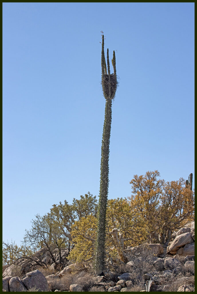
Unusual nest in an accommodating boojum.
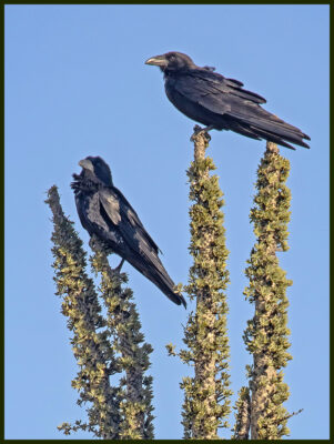
Nest residents: Chihuahuan Ravens
Boojum family.
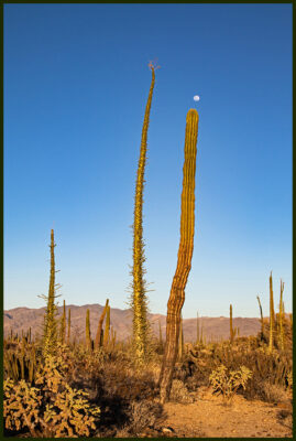
Unbranched cordón with boojum buddy and a moon crown.
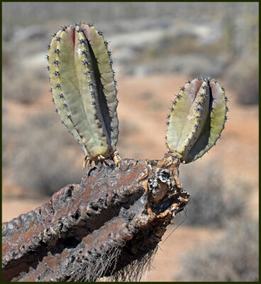
Too funny cactus.
Leslie with Cardón cactus. They make saguaros look puny.
Baby boojum. Even with enough rain, they grow less than 2 inches per year. They can get 60 feet tall.
Desert view.
Next morning head to El Rosarito. Just a few kilometers south of town roads leave the highway toward the coast. One river camp has become a must stop for us. The road in is rough, 4WD is necessary. (There are other roads that may not be as rough?) Even in this severe drought year there was water in the valley, albeit less than usual.
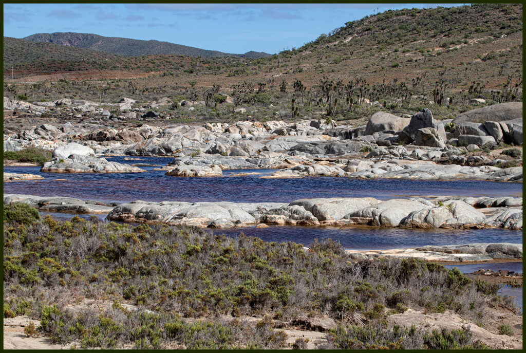
In previous visits the river ran like this. This year the flow was barely visible.
But in the deep water hole there was still some good water for the wildlife.
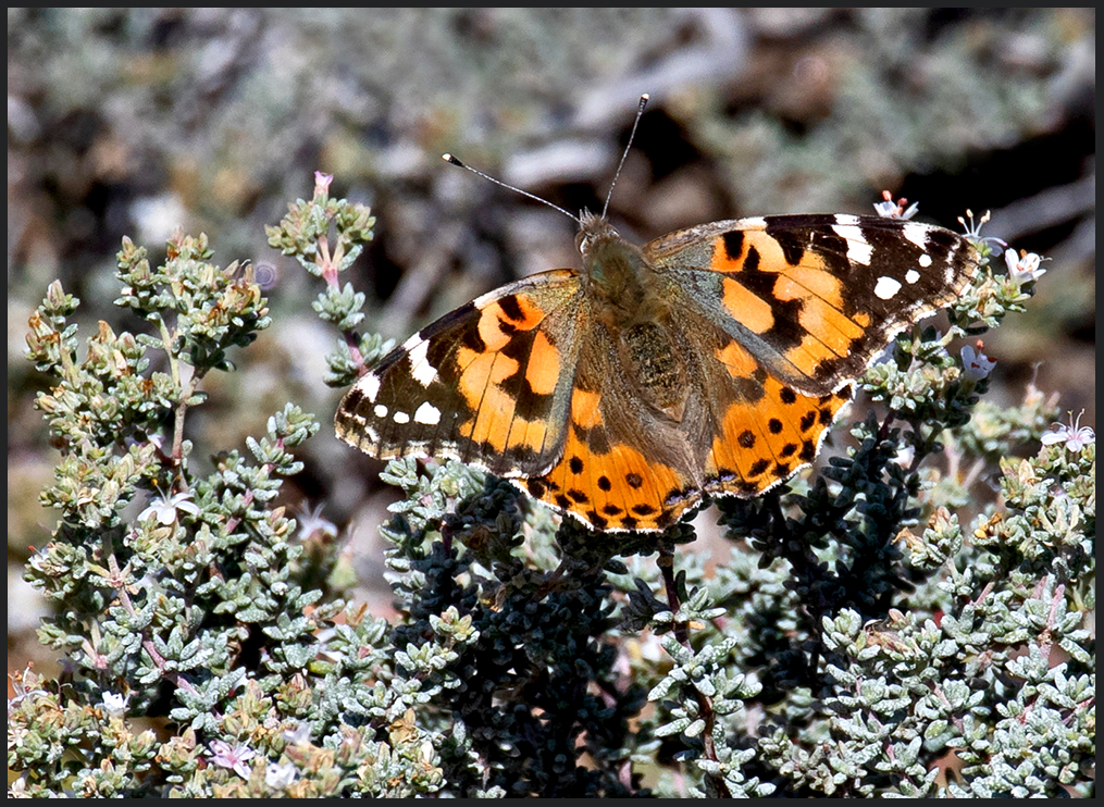
We saw painted ladies in 2020 by the thousands, this year, nary a one. And we were there at exactly the same time of year.
And onward…
Drive across the state line into Baja California Sur. South of Guerrero Negro is a dirt road to the old mining town of El Arco, now nearly a ghost town.
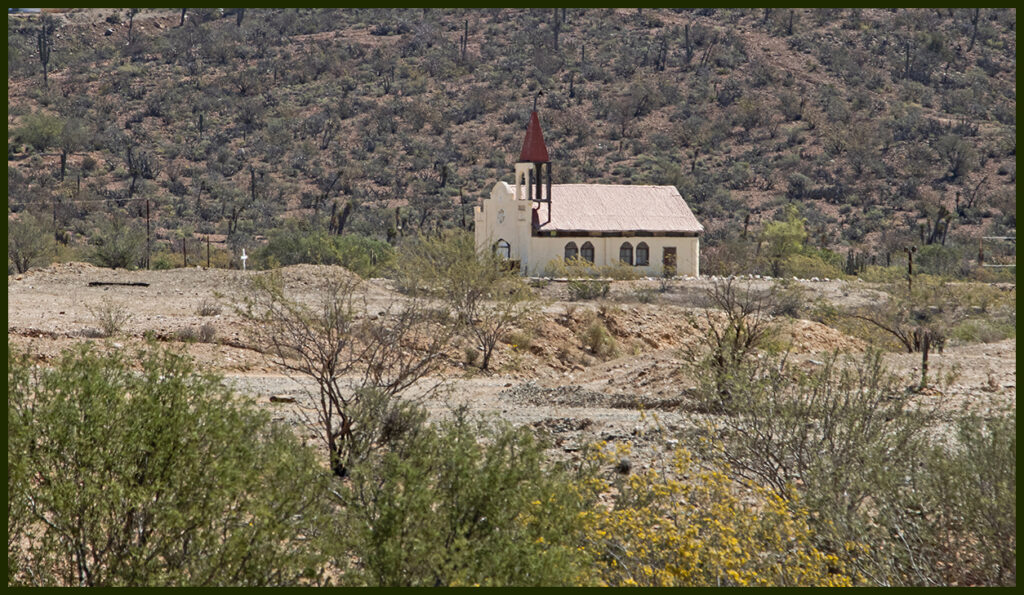
Abandoned church, or at least infrequently used.
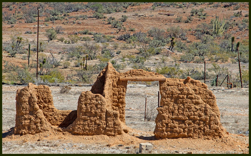
Adobe ruin.
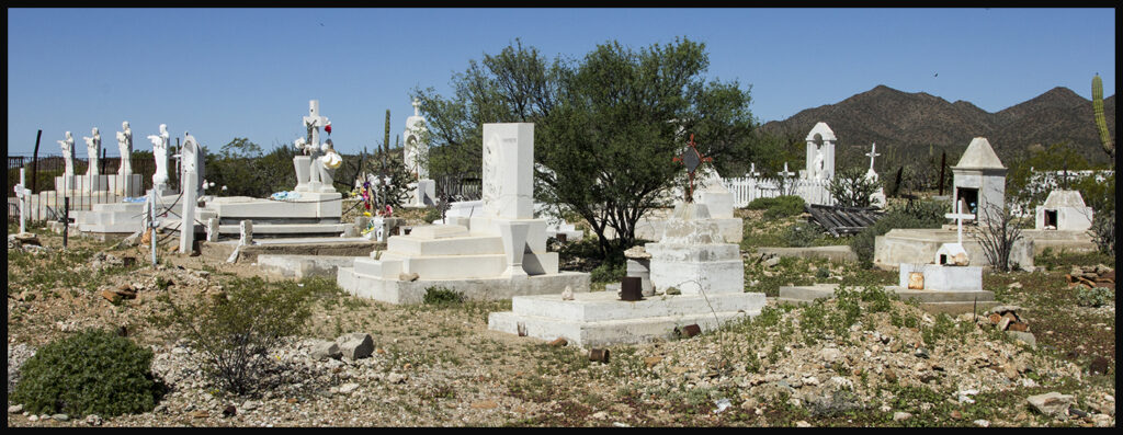
El Arco cemetery.
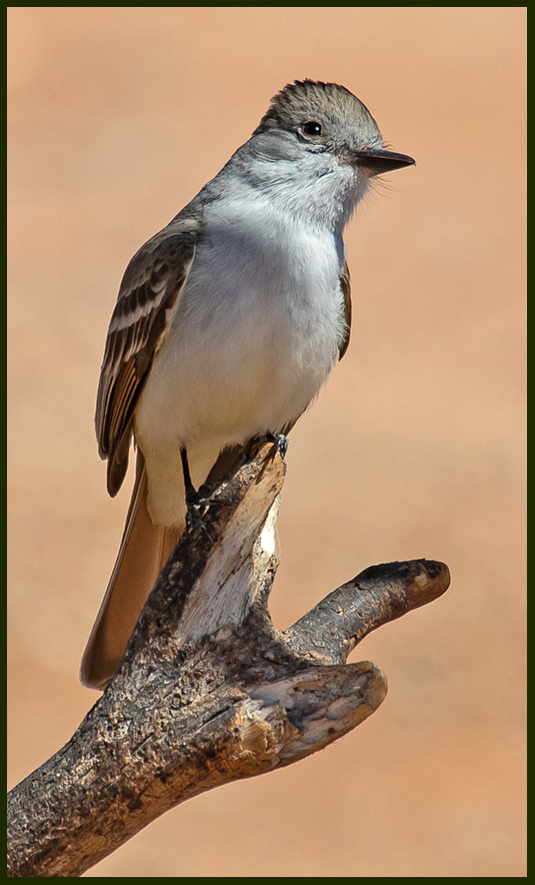
Ash-throated Flycatcher visiting the cemetery.
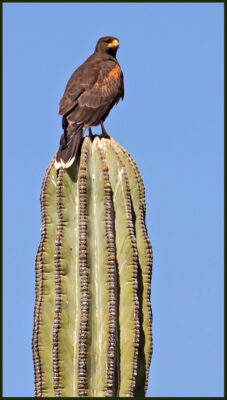
Harris Hawk, also at the cemetery
From there we continued on to Punta San Francisquito (52 miles further), a spot we’d been eying for the last several trips to Baja. It’s a long drive in and if the road hasn’t been graded somewhat recently, a bone-jarring ride. Luckily it had been graded, so we jumped at the opportunity.
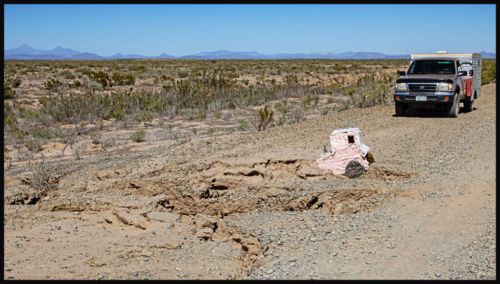
However, don’t stop paying attention, there are still many road hazards. Someone kindly marked this severe washout with a tractor piñata.
The road in is sandy but passable.
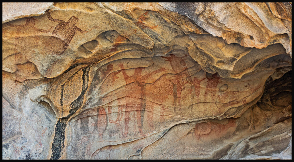
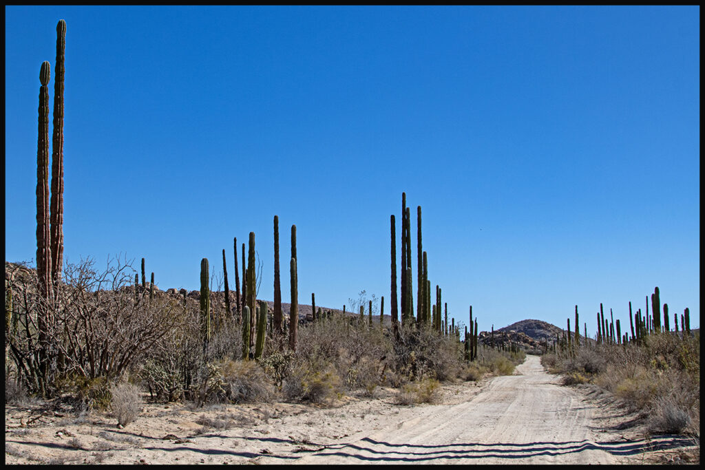
Be sure to stop at an ancient cave with pictographs. The turn-off isn’t marked, but it’s one of the only well traveled exits to the right from the main road, about a third of the way to the beach.
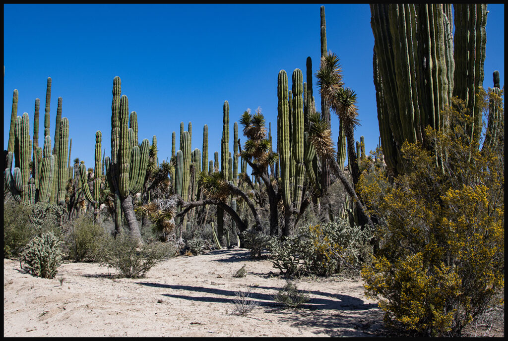
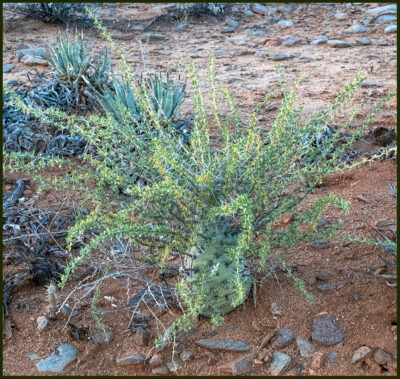
The plant life is prolific for such a dry area.
Punta San Francisquito is now nearly deserted, but in its heyday, it was quite the destination for well-healed travelers. There is a rough airstrip that the rich and famous used to fly into for grand fishing expeditions. Until relatively recently a couple managed a low-key resort, but even that is shuttered now. We discovered a campsite above the beach…very private. The wide, white sand beach beckoned, but the winds kept us ashore. Winds are not uncommon in late winter.
Baja would be ruined if it didn’t have such inhospitable terrain and access.
Beach view, with nary a soul.
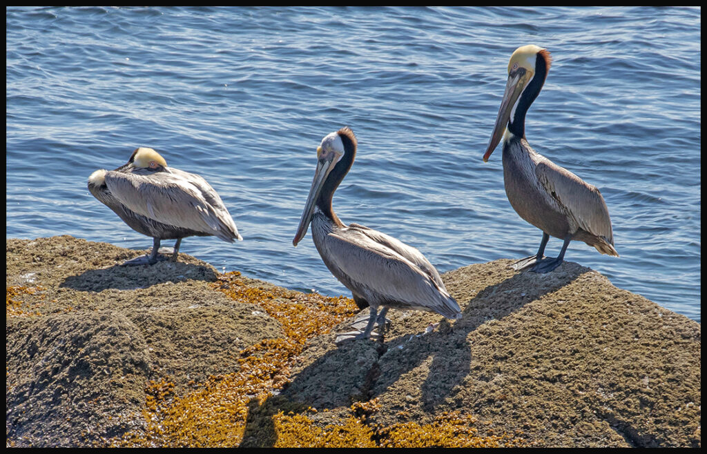
Birding wasn’t great, but pelicans are always a welcome sight.
Evening view from our hilltop campsite.
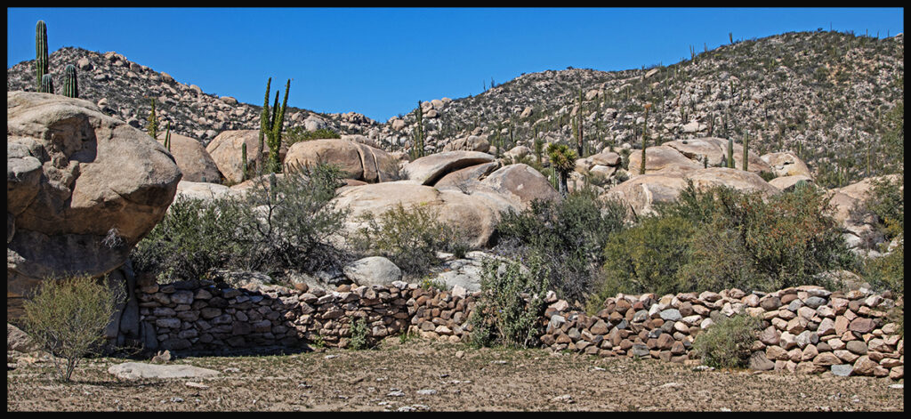
On the way out we noticed a stone corral. There are a few ranches out here that run cattle. Although what the cattle were eating in this drought is a mystery.
And on, southward. You can’t drive through Baja without stopping at San Ignacio. Although I’ve mentioned it before, it’s such a wonderful little palm oasis in the middle of the desert, I’ll mention it again. The central plaza has old colonial charm that so many of the larger cities lack. We unpack our little inflatable kayak for a short paddle in the lagoon.
Misión San Ignacio founded in 1728 dominates the central plaza.
Mission alter. The church is open to the public.
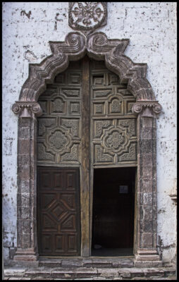
Mission door.
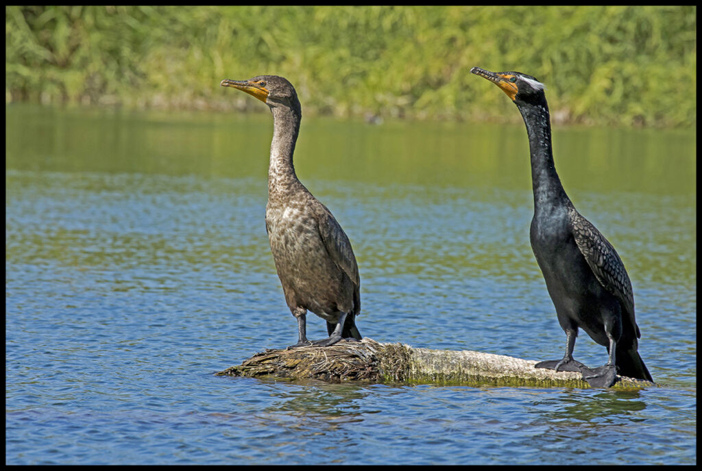
Double-crested cormorant pair watches us glide by.
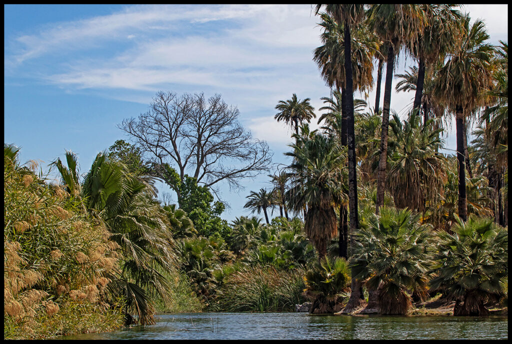
End of the lagoon.
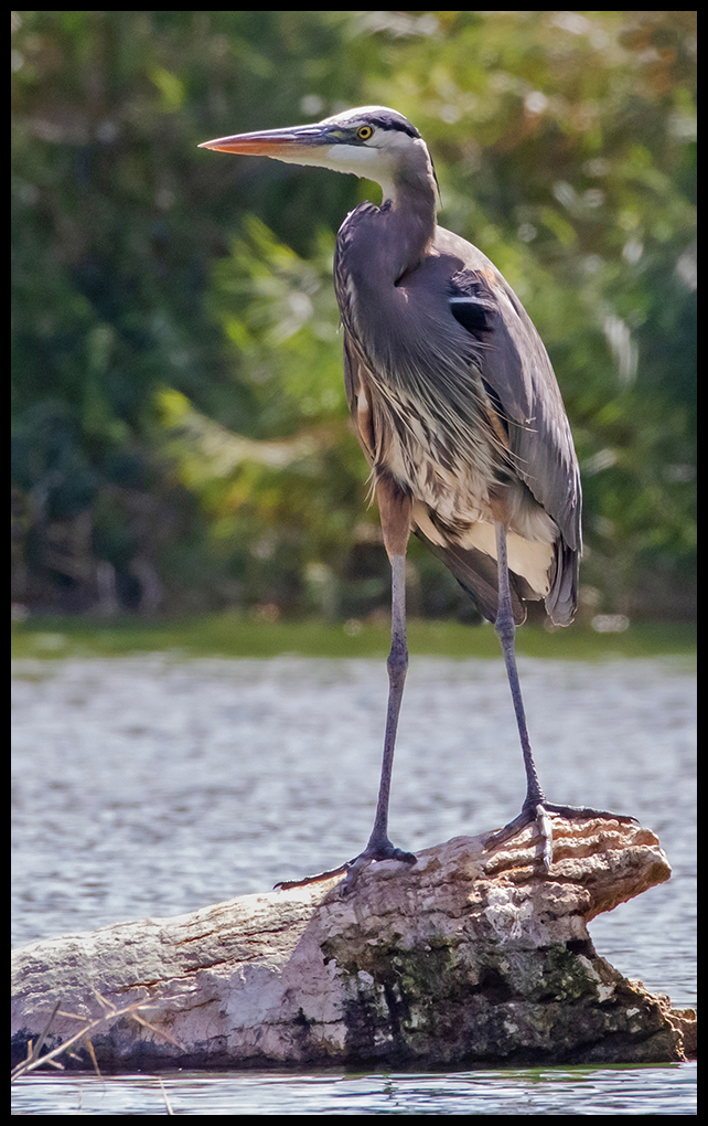
Blue heron doesn’t fly when we pass by.
We’ll leave it here for now and continue shortly with the rest of the new/old sites.