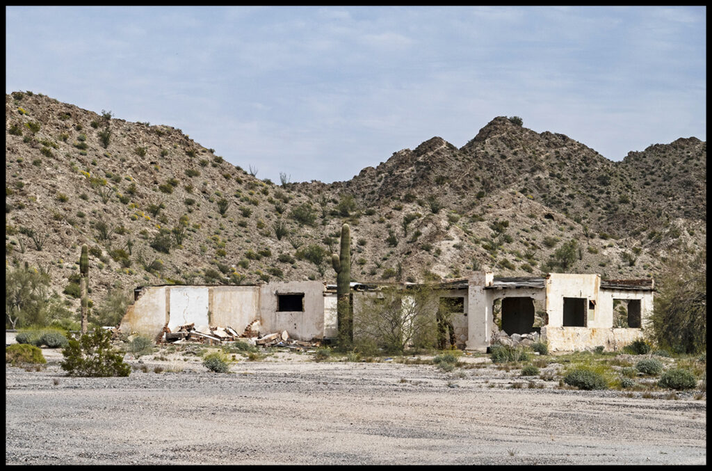
Abandoned roadside attraction
Thomas Wolfe’s popular trope, “You can never go home again” means if you try to return to a place from your past, it will not be the same as it was, or at least as your memory of it was. The place has changed, or you have changed, or more likely, both.
After four extended winter vacations in Baja California starting in 2017, we’ve noticed how a place can be dramatically altered by several forces…development, local weather, and climate change. Because it’s a peninsula dividing the Atlantic from the Gulf of California by only a thin landmass, and threaded by only a few paved roads; it’s easy to spot the changes.
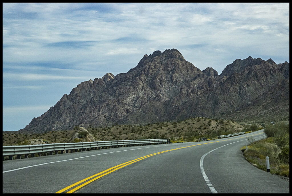
Along Mexico’s Highway 2
We tried something new this time. Instead of crossing at the slow and crowded border of Yuma, AZ/San Luis, Mexico, we decided to try the Lukeville/Sonoyta crossing south of Organ Pipe NP. Our February 7th crossing there took less than 15 minutes. We’d been worried about driving such a long stretch along the border on the Mexican side. There are so many warnings about the border area being very dangerous, but what we found was entirely different. Mexican highway 2 is good and there isn’t much traffic, only truckers.
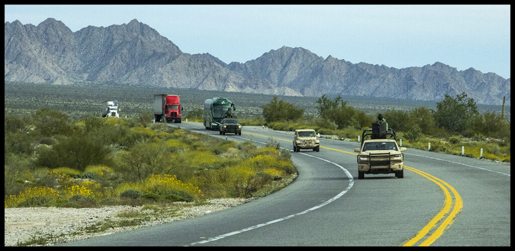
Traffic on Highway 2 is sparse. They use the wide shoulders to make the highway 3 lanes…pay attention!
The Mexican government has apparently bought all the land near the border and turned it into a wildlife sanctuary. There are no services or signs of inhabitants along the road all the way from Sonoyta to San Luis. Going this route was a huge time saver.
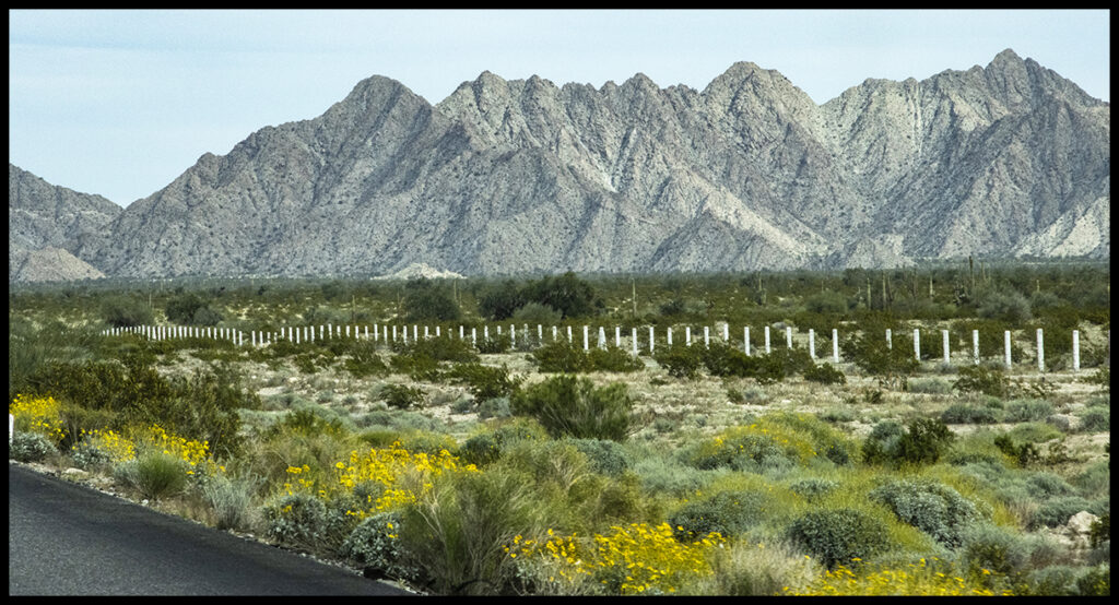
Fencing along the highway denotes the wildlife refuge boundary.
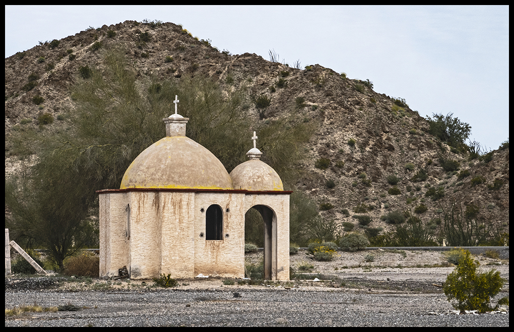
Found in an abandoned parking lot.
Scenery from the other end of the parking lot.
Baja (and some of Sonora) has a “no hassle” policy. There are numerous checkpoints in Baja, but rarely have we ever been questioned and never stopped. We didn’t have to show our passport until we returned to the USA. Not all tourists are so lucky. We heard stories of visa problems. One should get a visa before traveling to Mexico to be on the safe side. Also, don’t forget to carry proof of Mexican car insurance.
In Baja the police presence is limited, but in the town of Sonoyta, be careful. We were stopped by the police and shaken down for a very minor speeding infraction. $120 fine plus a bonus for the officers of another $60…or would we prefer to go down to the precinct office to protest? Dollars are acceptable.
A new rule at the border is a ban on bringing in spare Gerry cans of gas. Now that the price of gas in Mexico is close to $7 a gallon, they want you to buy it there. We have emergency tanks holding about 7 gallons total, and they let us go with a warning…”don’t do it again”.
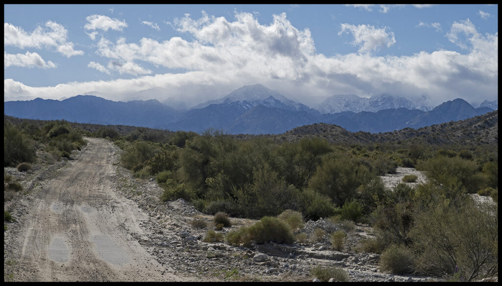
Five hours from the border crossing we arrive at the gulf town of San Felipe. After a grocery stop, we were off to one of our favorite camping areas near a large wash draining the highest mountain range in Baja.
El Picacho Diablo, highest point in Baja is just west of San Felipe.
We drove beyond the usual camp area to explore new options, but the road got too rough.
Some signs of the November hurricane that did so much damage in Mazatlán and lower Baja were visible, but not jarring. Recent rains had started the wildflower bloom.
The wash view towards the gulf. There were signs of some flooding.
And the wash in the other direction
A variety we call “old man cactus”
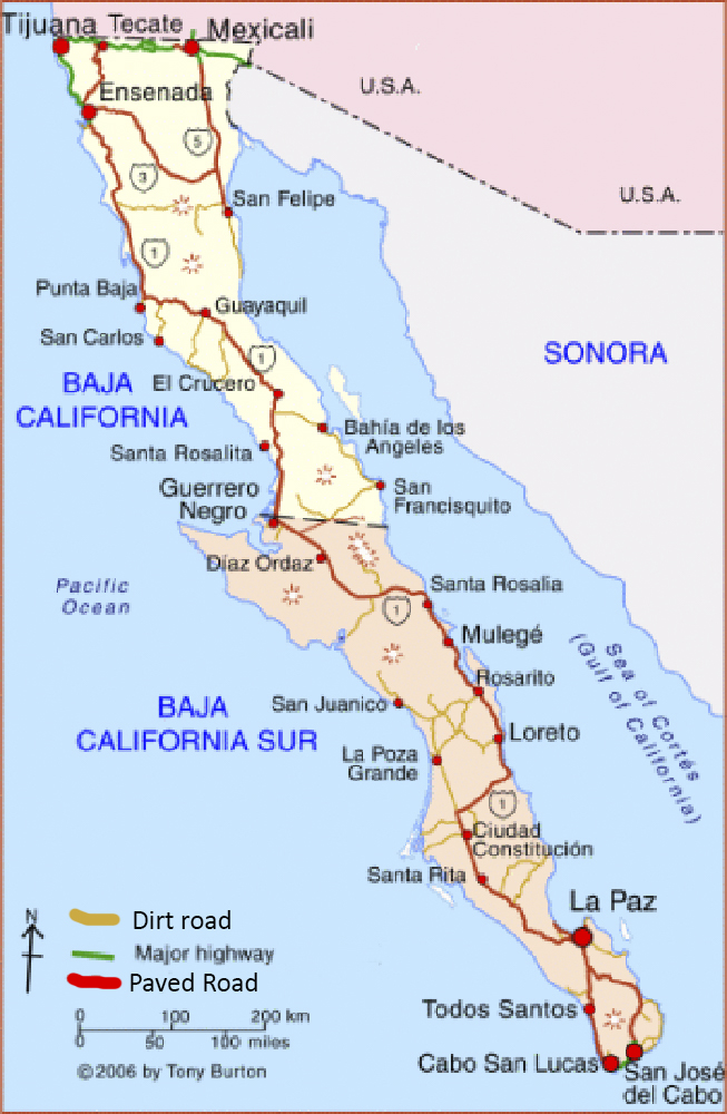
2006 map of Baja. Notice very few paved roads.
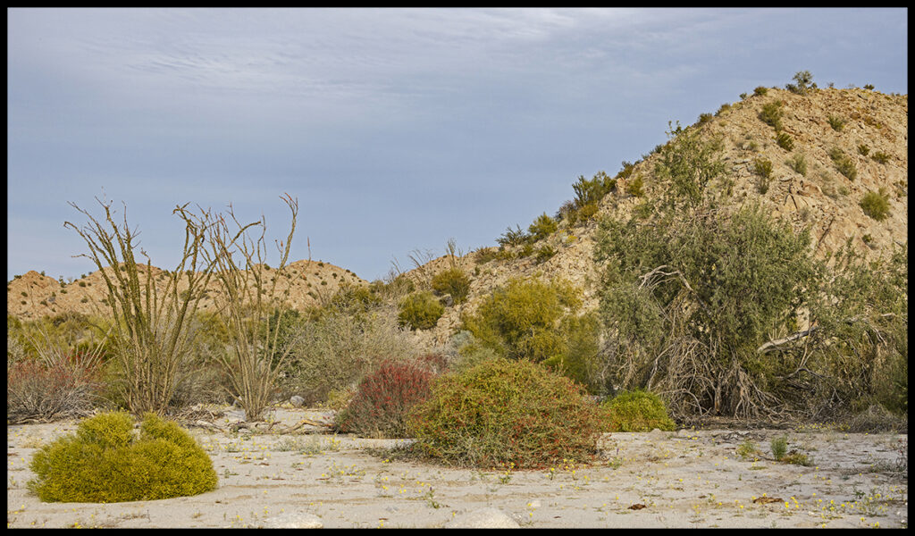
What’s interesting about this map are the enormous changes since 2006. A number of the important cities of the time are footnotes, barely shown on maps today. More, and larger towns have displaced them. Our first trip to Baja we prepared for a 4 to 5 day overland excursion on old, rutted dirt roads south of San Felipe. Imagine our surprise when we found new pavement halfway completed in the 120 mile stretch between San Felipe and Highway 1. We left the road builders behind and followed the pavement’s end to the junction with Highway 1. On the way we discovered what we now call the canyon camp. So far, that little slice of pristine wilderness has not been touched, because it’s not on the coast. Coastal building is metastasizing. At least, on the upper gulf coast the homes are modest. Near the Cabos it’s a different story.
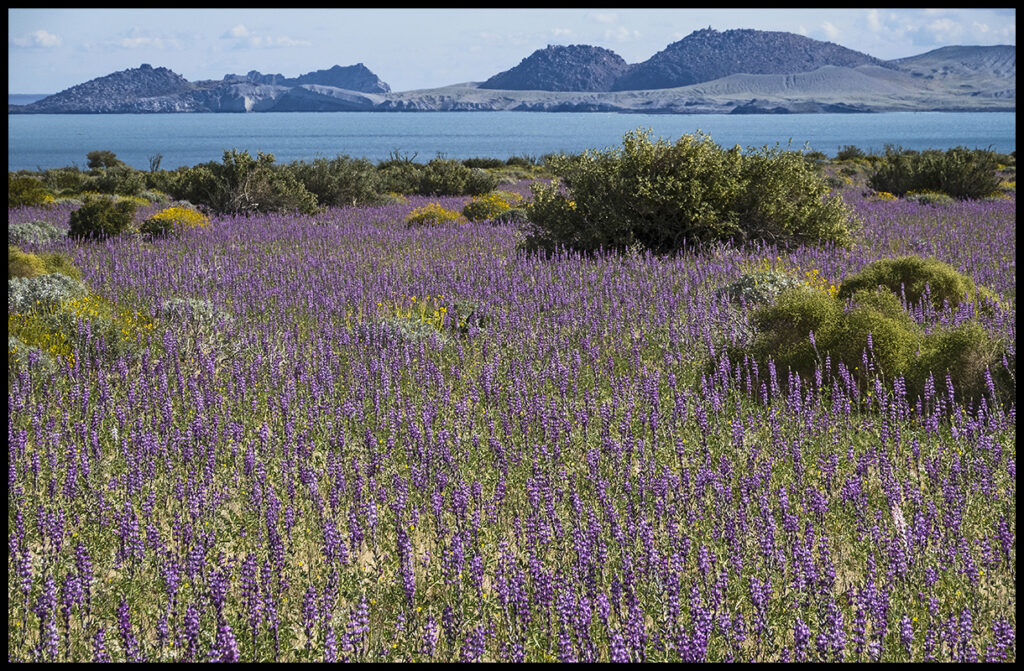
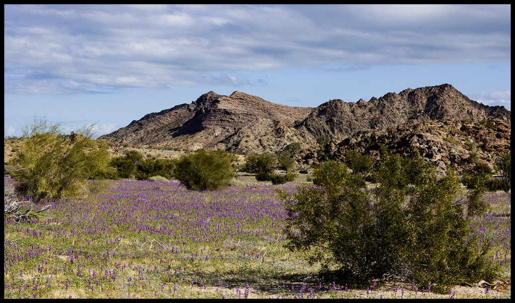
Surprising flowers blooming in mid-February at our favorite “canyon camp”.
Rains are so unpredictable on the very dry peninsula that each year has a different bloom pattern. Sometimes we arrive at canyon camp to dry dirt, other times to flower carpets of all sorts. This year was especially wonderful because the November hurricane had dumped a lot of rain, and subsequent smaller rains turned parts of Baja into super blooms.
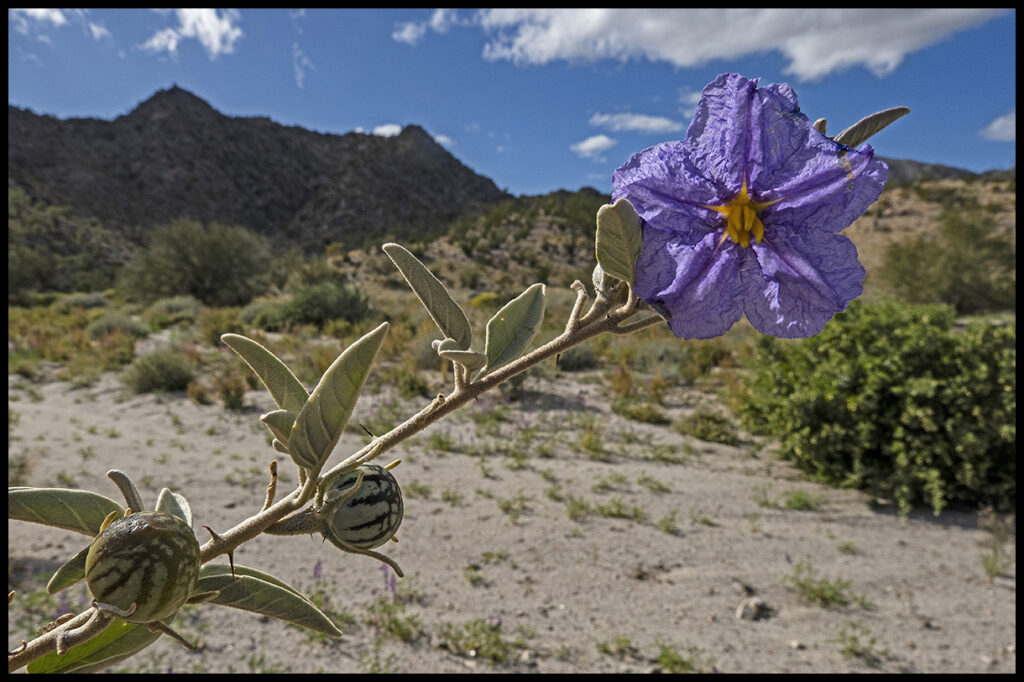
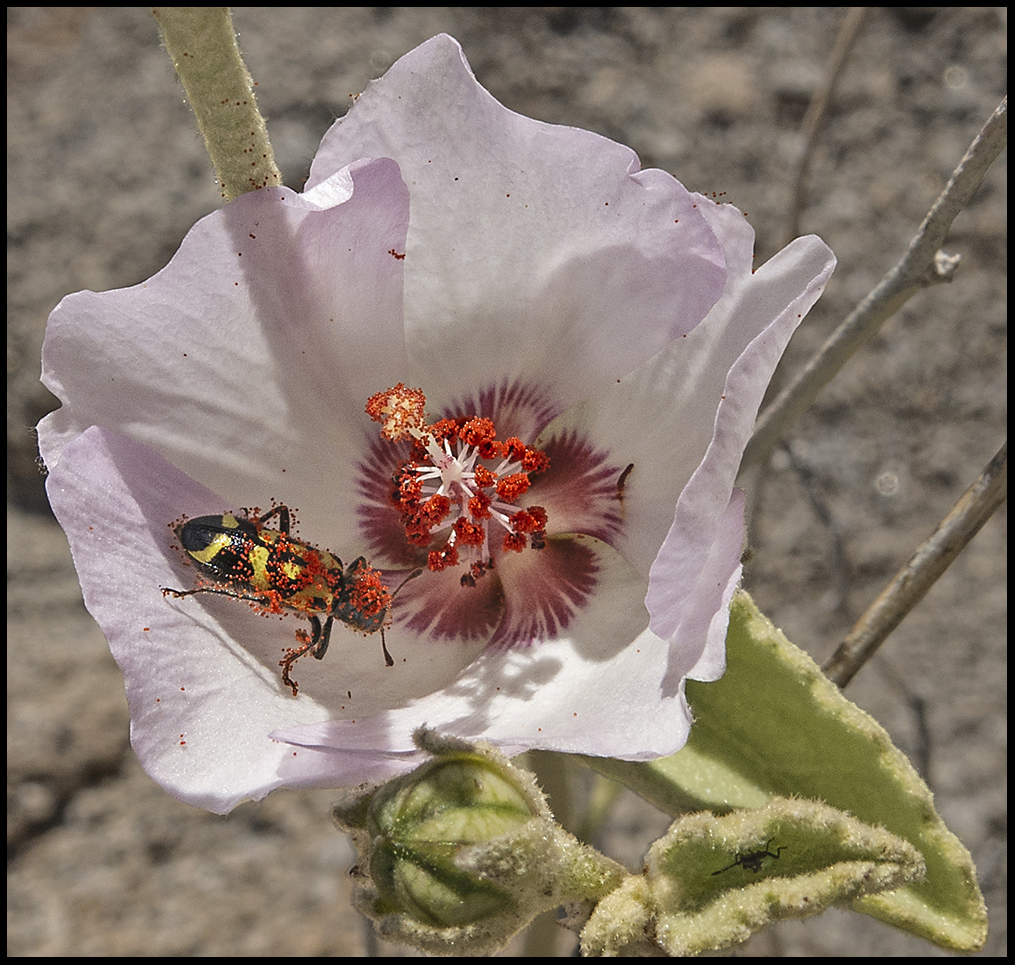
Baja Nightshade, one of dozens of blooming plants.
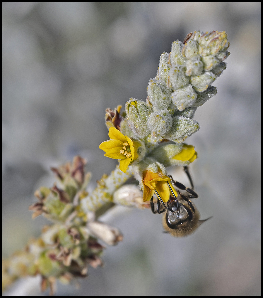
Bees were capitalizing on the bonanza.
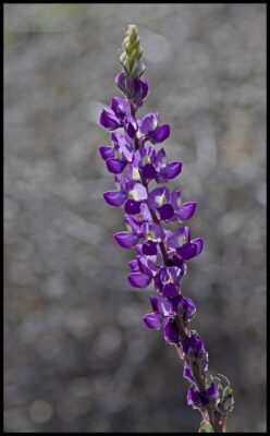
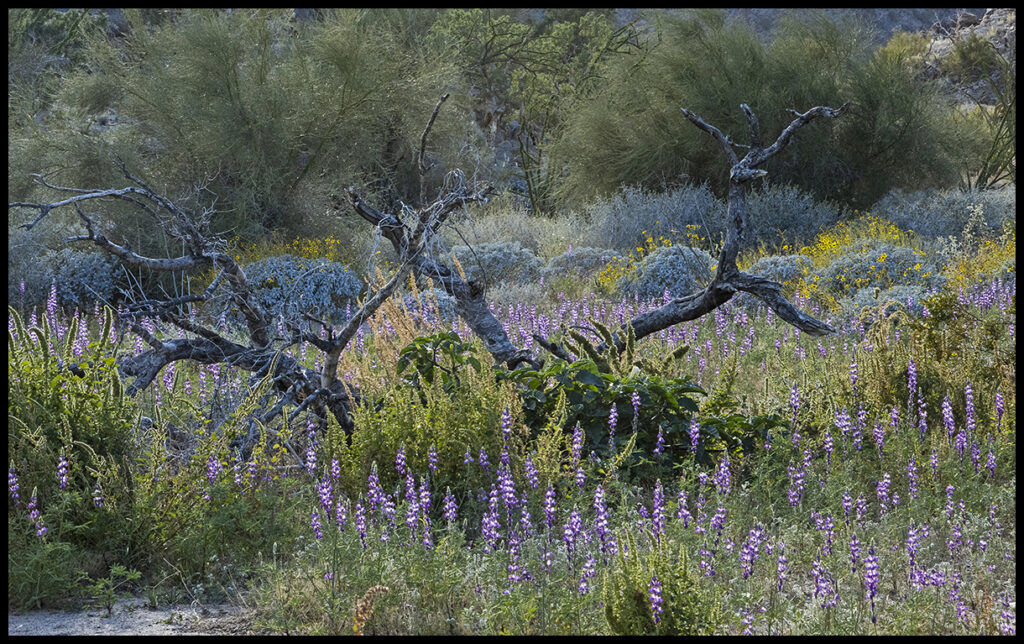
Lupine were by far the most numerous.
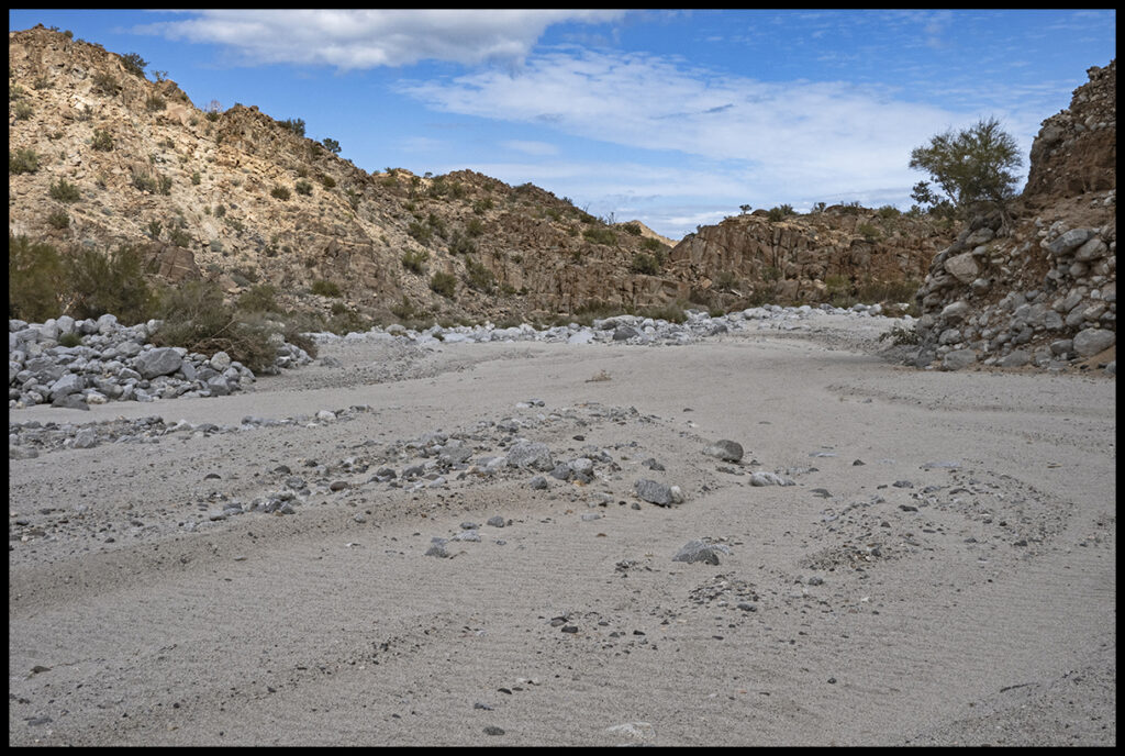
Signs of recent flooding.
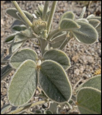
Fuzzy leaves help conserve water in desert plants.
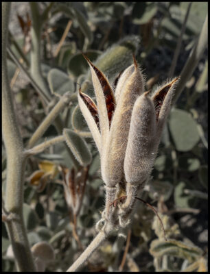
Even the seed pods are fuzzy.
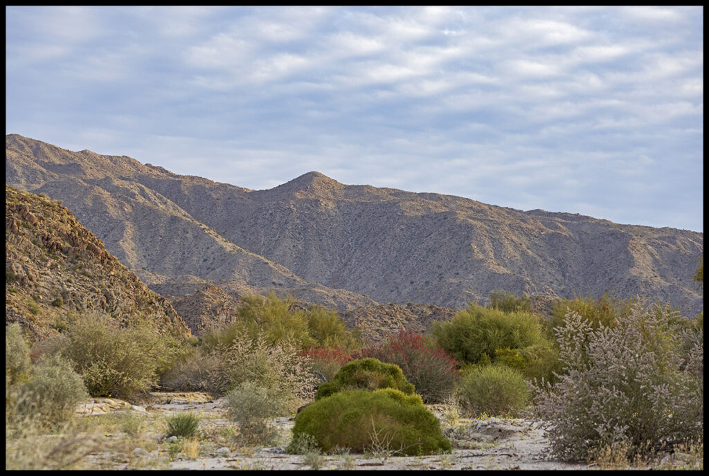
View from our camp site
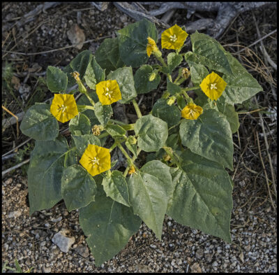
Some sort of nightshade
The seed pod
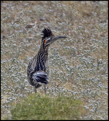
Welcoming roadrunner
Waxy plant with a few blooms in the morning, gone in the afternoon.
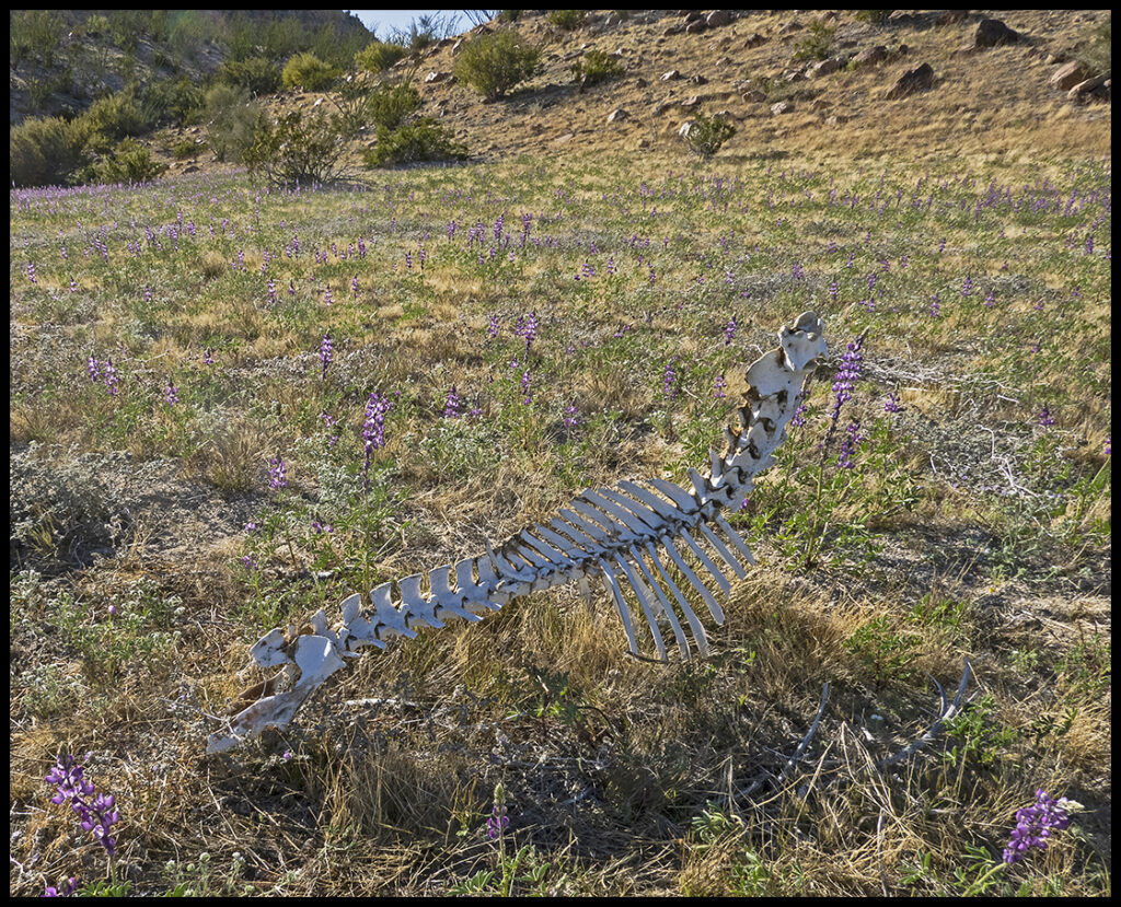
Desert bighorn skeleton. Bighorns and burros seem the only large animals in the area.
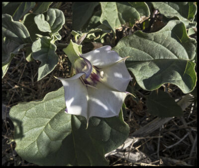
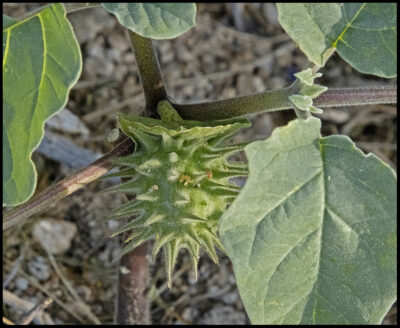
Angel’s trumpet datura
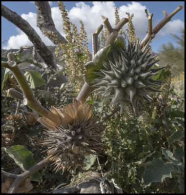
Wicked looking pod
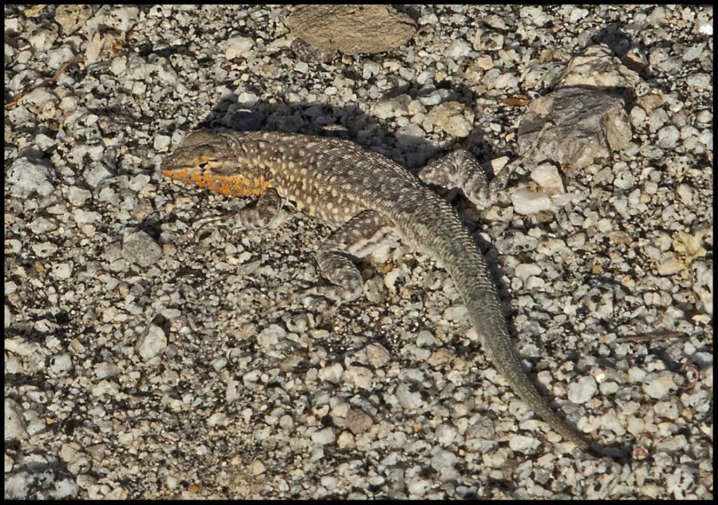
Blotched lizard, one of several lizard varieties.
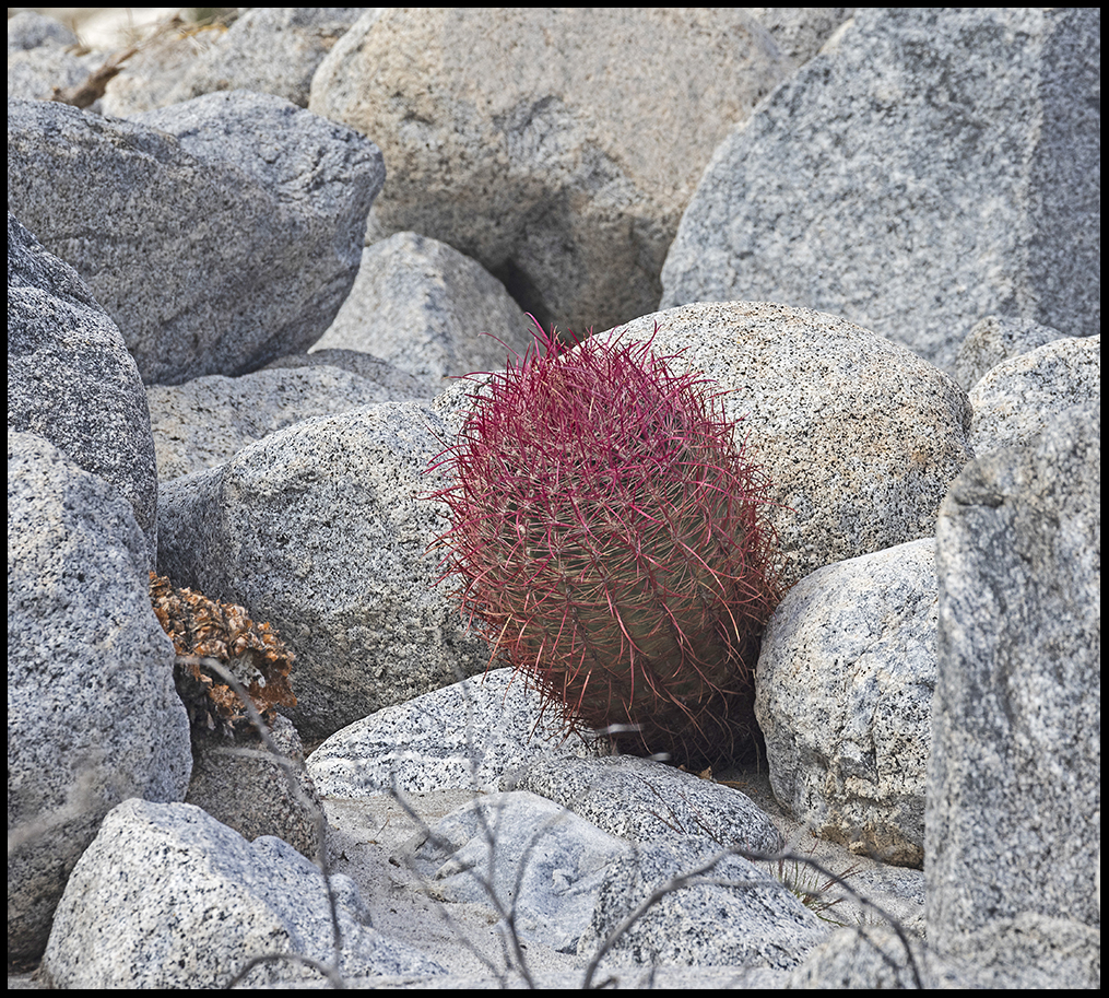
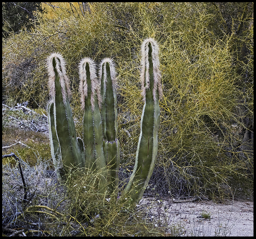
The big canyon had been scoured by the floods but one small barrel held on.
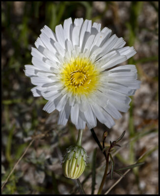
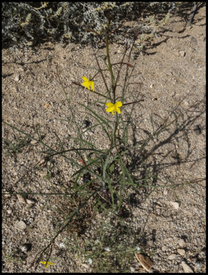
White dandelion
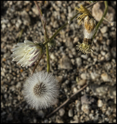
Seeds like our yellow dandelions

Morning view from our camp
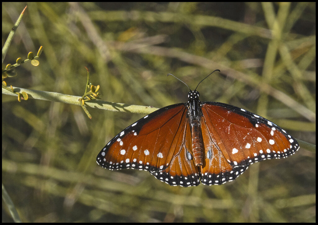
Southwest Queen butterfly, male. Not many butterflies were out yet.
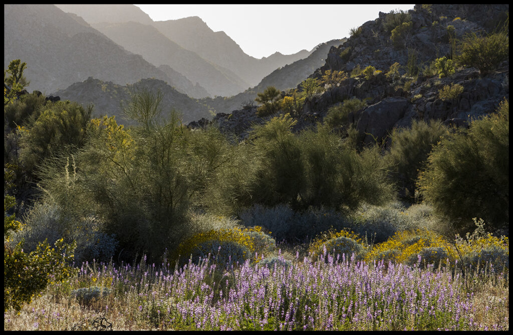
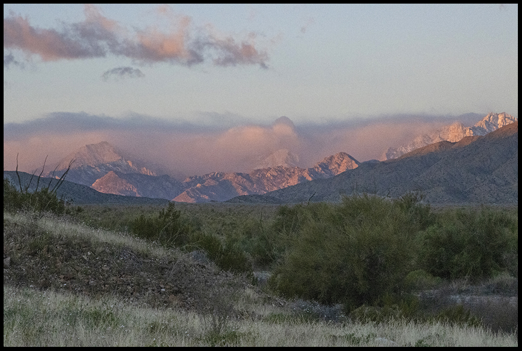
Evening light
When we returned almost a month later the Yellow-flowering brittlebush was in full bloom, but the lupine were fading.
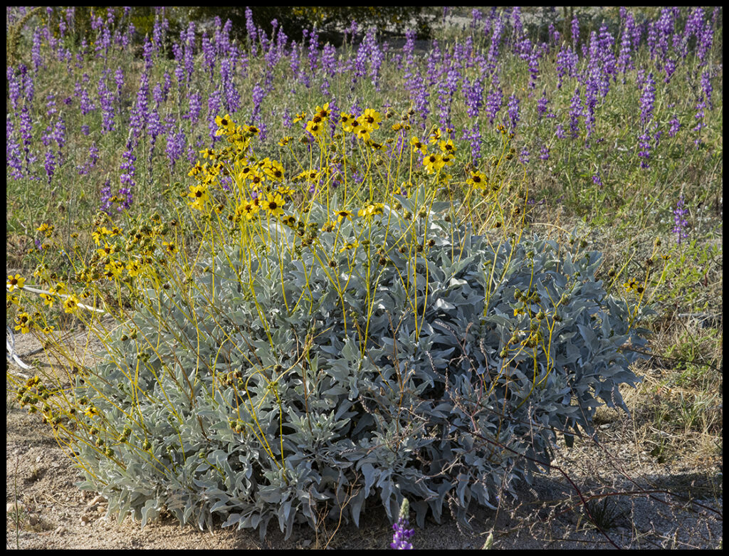
These yellow-flowering brittlebushes last for months and are found all over Baja.
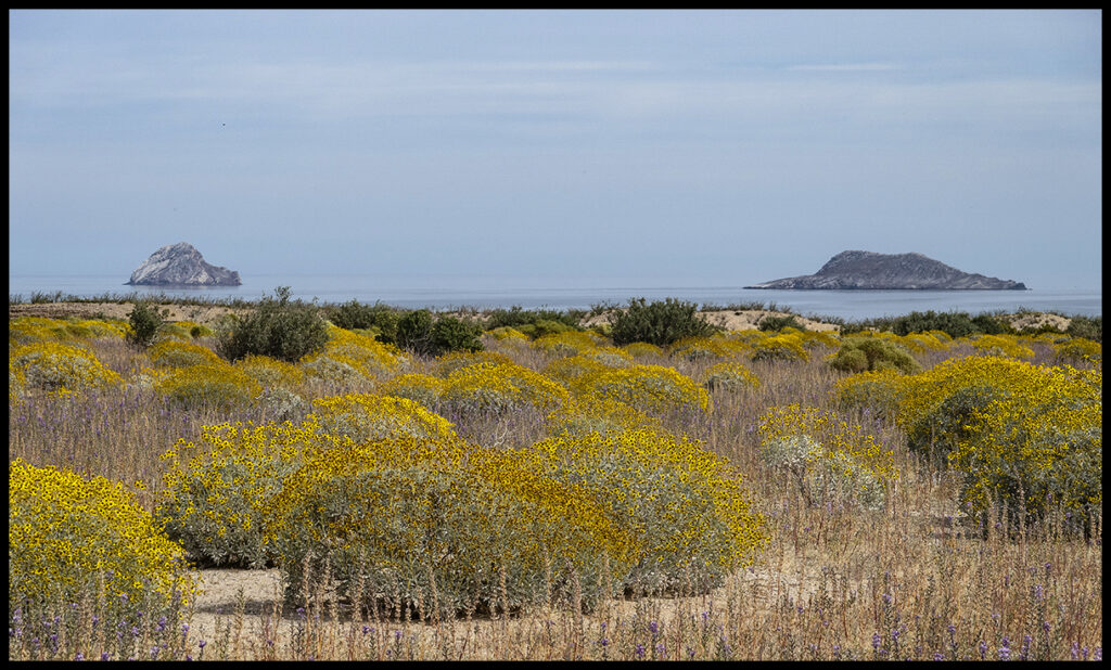
Brittlebush as far as one could see.
Another later blooming flower with red pollen. Notice thick, spongy leaves.
Driving south we passed the new Coco’s corner. Coco’s Corner and his cold beer was a famous fixture for many traveling south on the old road. The new highway cut off easy access to Coco’s welcome break. The new Coco’s is not doing well.
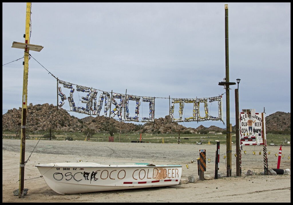
Coco made good use with all the empty beer cans. Signs and fences were made of them.
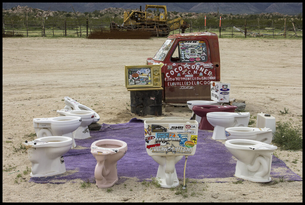
2017 Coco’s art display, mid parking lot. All commodes like new.
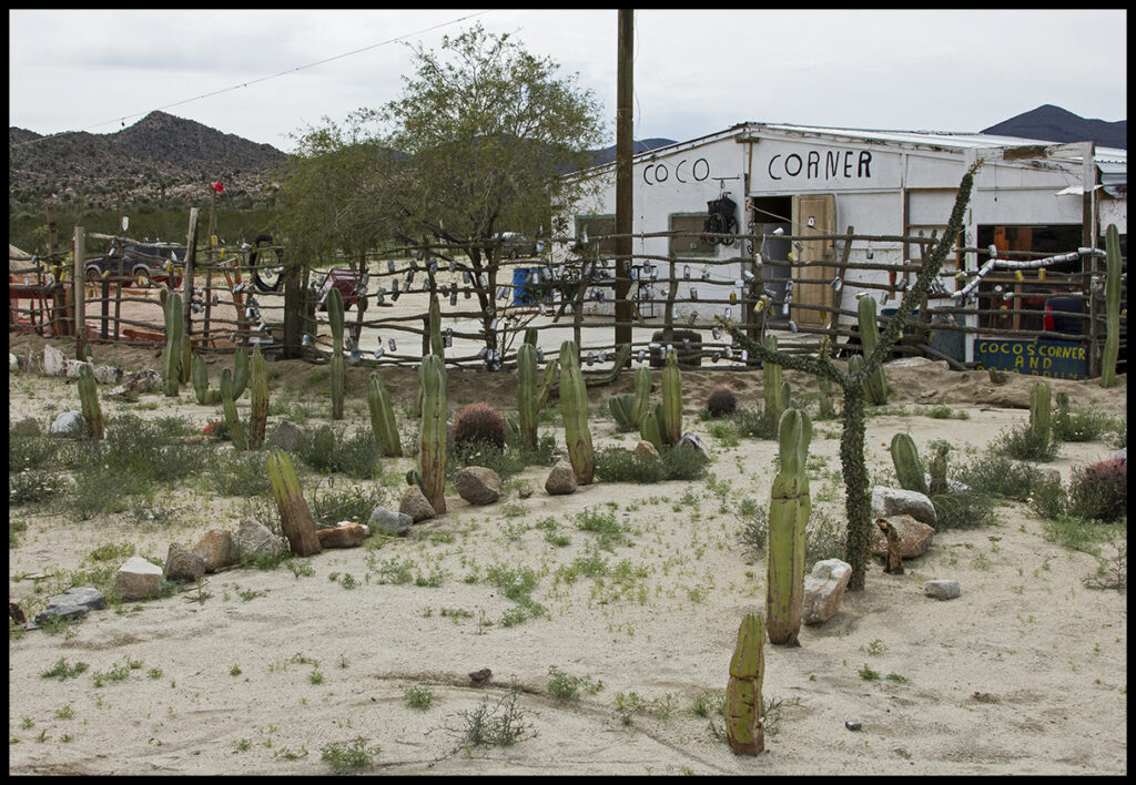
Coco’s cactus garden of old is now gone.
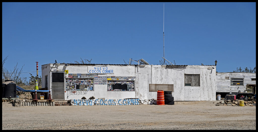
The new Coco’s is faltering.
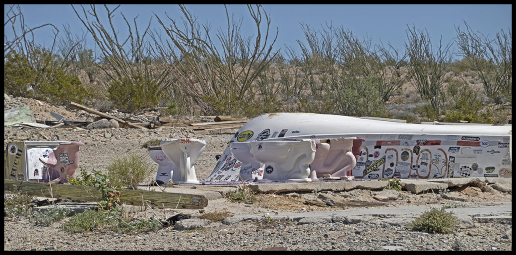
The boat and commodes now chipped and moldering away. Nothing stays the same.
I’ll leave it here for now with the last incongruous building on the gulf coast not far from the canyon camp.
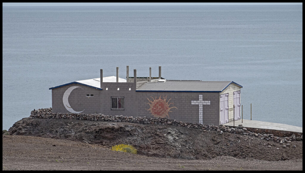
What happens here? No idea.